Körnberghalle
Körnberghalle is a sports venue in Friedrichroda, Gotha, Thuringia. Körnberghalle is situated nearby to the pitch Schulsportanlage, as well as near the park Rosenauplatz.| Tap on a place to explore it |
Places of Interest Nearby
Highlights include St. Karl Borromäus and Marienkapelle.
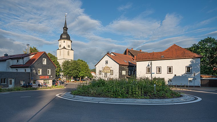
St. Karl Borromäus
Church

Photo: Metilsteiner, CC BY 3.0.
St. Karl Borromäus is a church, which is situated 580 metres west of Körnberghalle.
Marienkapelle
Church

Photo: Giorno2, CC BY-SA 4.0.
Marienkapelle is a church, which is situated 1 km northwest of Körnberghalle.
Christuskirche
Church

Photo: SchiDD, CC BY-SA 4.0.
Christuskirche is a church, which is situated 1 km west of Körnberghalle.
Places in the Area
Nearby places include Friedrichroda and Engelsbach.
Friedrichroda
Town
 Friedrichroda is a town in the district of Gotha, Thuringia, Germany. It is situated at the north foot of the Thuringian Forest, 21 km by rail southwest of the town of Gotha.

Finsterbergen
Village

Photo: Metilsteiner, CC BY 3.0.
Finsterbergen is a former municipality in the district of Gotha, in Thuringia, Germany. Since 1 December 2007, it is part of the town Friedrichroda. Finsterbergen is situated 2½ km southeast of Körnberghalle.
Körnberghalle
- Type: Sports venue
- Categories: building, recreation area, and sports location
- Location: Friedrichroda, Gotha, Thuringia, Germany, Central Europe, Europe
- View on OpenStreetMap
Latitude
50.85591° or 50° 51′ 21″ northLongitude
10.57517° or 10° 34′ 31″ eastOpen location code
9F2GVH4G+93OpenStreetMap ID
way 155633922OpenStreetMap feature
building=yesOpenStreetMap feature
leisure=sports_centre
This page is based on OpenStreetMap, Wikidata, and Wikimedia Commons.
We’d love your help improving our open data sources. Thank you for contributing.
Satellite Map
Discover Körnberghalle from above in high-definition satellite imagery.
Notable Places Nearby
Highlights include Schulsportanlage and Rosenauplatz.
Nearby Places
Explore places such as Perthes-Gymnasium and AWO Alten- und Pflegeheim ‘Am Körnberg’.
Curious Sports Venues to Discover
Uncover intriguing sports venues from every corner of the globe.
About Mapcarta. Data © OpenStreetMap contributors and available under the Open Database License". Text is available under the CC BY-SA 4.0 license, except for photos, directions, and the map. Photo: Taxiarchos228, FAL.