Saint-Julia
Saint-Julia is a castle in Fontiès-d’Aude, Arrondissement of Carcassonne, Occitanie. Saint-Julia is situated nearby to the peak Moural del Bosc, as well as near the park Square Jean Mermoz.| Tap on a place to explore it |
Places of Interest Nearby
Highlights include Écluse de Trèbes (59) and Trèbes Town Hall.
Écluse de Trèbes (59)
Lock
 Écluse de Trèbes (59) is a lock, which is situated 1¼ km northwest of Saint-Julia.
Trèbes Town Hall
Town hall

Photo: Archaeodontosaurus, CC BY-SA 3.0.
Trèbes Town Hall is situated 2 km northwest of Saint-Julia.
Église Saint-Marcel de Fontiès-d’Aude
Church

Photo: Tylwyth Eldar, CC BY-SA 4.0.
Église Saint-Marcel de Fontiès-d’Aude is a church, which is situated 1½ km south of Saint-Julia.
Places in the Area
Nearby places include Berriac and Cité de Carcassonne.
Berriac
Village
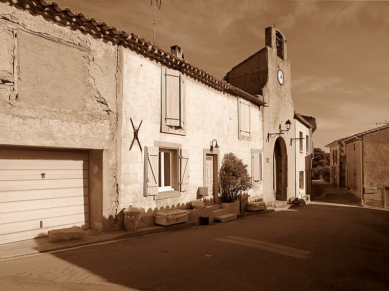
Photo: Olybrius, CC BY-SA 4.0.
Berriac is a commune in the Aude department in southern France. Berriac is situated 4½ km northwest of Saint-Julia.
Cité de Carcassonne
Neighborhood

Photo: Jondu11, CC BY-SA 4.0.
The Cité de Carcassonne is a medieval citadel located in the French city of Carcassonne, in the Aude department, Occitania region. It is situated on a hill on the right bank of the river Aude, in the south-eastern part of the city proper. Cité de Carcassonne is situated 8 km west of Saint-Julia.
Capendu
Village

Photo: Wikimedia, CC BY-SA 3.0.
Capendu is a commune in the Aude department in southern France. Capendu is situated 8 km east of Saint-Julia.
Saint-Julia
- Type: Castle
- Categories: building, historic site, tourist attraction, and tourism
- Location: Fontiès-d’Aude, Arrondissement of Carcassonne, Aude, Occitanie, France, Europe
- View on OpenStreetMap
Latitude
43.2008° or 43° 12′ 3″ northLongitude
2.46187° or 2° 27′ 43″ eastOpen location code
8FM46F26+8POpenStreetMap ID
way 156432319OpenStreetMap feature
building=yesOpenStreetMap feature
historic=castle
This page is based on OpenStreetMap, Wikidata, and Wikimedia Commons.
We’d love your help improving our open data sources. Thank you for contributing.
Satellite Map
Discover Saint-Julia from above in high-definition satellite imagery.
Places with the Same Name
Discover other places named “Saint-Julia”.
Notable Places Nearby
Highlights include Moural del Bosc and Square Jean Mermoz.
Nearby Places
Explore places such as Chemin de Trèbes and Trèbes - Gendarmerie.
Aude: Must-Visit Destinations
Delve into Carcassonne, Narbonne, Limoux, and Leucate.
Curious Castles to Discover
Uncover intriguing castles from every corner of the globe.
About Mapcarta. Data © OpenStreetMap contributors and available under the Open Database License". Text is available under the CC BY-SA 4.0 license, except for photos, directions, and the map. Photo: MartinD, CC BY-SA 3.0.