Hochzeitshain
Hochzeitshain is a forest in Lower Saxony, Germany. Hochzeitshain is situated nearby to the village Groß Sterneberg, as well as near the hamlet Groß Neuland.| Tap on a place to explore it |
Places of Interest
Highlights include Sandentnahme Hammah and Großsteingrab Hammah 1.
Sandentnahme Hammah
Nature reserve

Photo: Christian Buck, CC BY-SA 4.0.
Sandentnahme Hammah is a nature reserve.
Großsteingrab Hammah 1
Archaeological site

Photo: flamenc, CC BY-SA 3.0.
Großsteingrab Hammah 1 is an archaeological site.

Places in the Area
Nearby places include Himmelpforten and Engelschoff.
Himmelpforten
Town
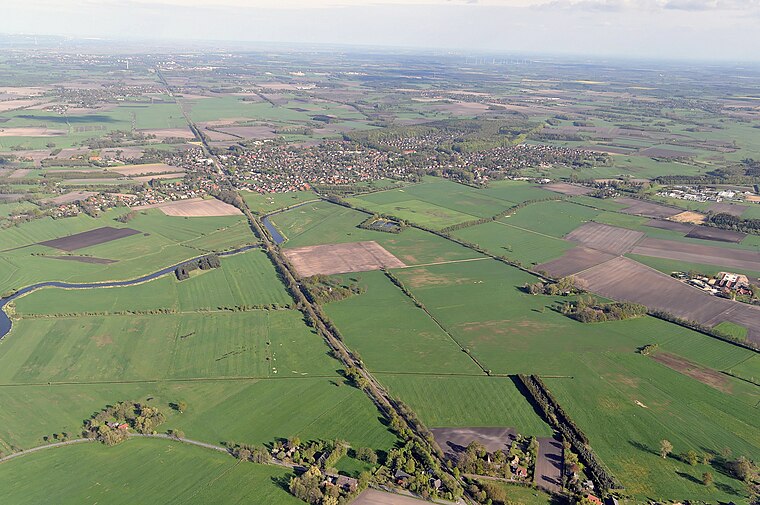
Photo: Raboe001, CC BY-SA 3.0 de.
Himmelpforten is a municipality west of Hamburg in the district of Stade in Lower Saxony. It is located on the Horsterbeck creek. Himmelpforten is also part and the seat of the Samtgemeinde Oldendorf-Himmelpforten.
Engelschoff
Village

Photo: Tadü, CC BY-SA 4.0.
Engelschoff is a municipality in the district of Stade, Lower Saxony, Germany.
Düdenbüttel
Village

Photo: Christian der Vierte, CC BY-SA 4.0.
Düdenbüttel is a municipality in the district of Stade, Lower Saxony, Germany.
Hochzeitshain
- Type: Forest
- Location: Lower Saxony, Germany, Central Europe, Europe
- View on OpenStreetMap
Latitude
53.6314° or 53° 37′ 53″ northLongitude
9.3619° or 9° 21′ 43″ eastOpen location code
9F5FJ9J6+HQOpenStreetMap ID
way 156616521OpenStreetMap feature
landuse=forest
This page is based on OpenStreetMap, Wikidata, and Wikimedia Commons.
We’d love your help improving our open data sources. Thank you for contributing.
Satellite Map
Discover Hochzeitshain from above in high-definition satellite imagery.
Places with the Same Name
Discover other places named “Hochzeitshain”.
Localities in the Area
Explore places such as Groß Sterneberg and Groß Neuland.
Notable Places Nearby
Highlights include Biogasanlage and Freiwillige Feuerwehr Großsterneberg.
Lower Saxony: Must-Visit Destinations
Delve into Hanover, Göttingen, Brunswick, and Wolfsburg.
Curious Forests to Discover
Uncover intriguing forests from every corner of the globe.
About Mapcarta. Data © OpenStreetMap contributors and available under the Open Database License". Text is available under the CC BY-SA 4.0 license, except for photos, directions, and the map. Photo: Danapit, CC BY-SA 3.0.