Camel Lot
Camel Lot is a parking area in City of Falcon Heights, Ramsey, Minnesota. Camel Lot is situated nearby to the park Curtiss Field, as well as near the health club Snap Fitness.| Tap on a place to explore it |
Places of Interest Nearby
Highlights include Bell Museum of Natural History and Har Mar Mall.
Bell Museum of Natural History
Museum

Photo: Unchewable, CC BY-SA 4.0.
The Bell Museum, formerly known as the James Ford Bell Museum of Natural History, is located at the University of Minnesota's Saint Paul campus. The museum's current location on the Saint Paul campus opened in 2018. Bell Museum of Natural History is situated 1 mile west of Camel Lot.
Har Mar Mall
Shopping center

Photo: McGhiever, CC BY-SA 4.0.
Har Mar Mall is an enclosed shopping mall in Roseville, Minnesota, United States, a suburb of the Twin Cities. Har Mar Mall comprises over 430,000 square feet of retail space and the mall's anchor stores are Famous Footwear, Michaels, Barnes & Noble, K&G… Har Mar Mall is situated 1 mile north of Camel Lot.
Salvation Army Women’s Home and Hospital
Social service facility

Photo: McGhiever, CC BY-SA 3.0.
The Salvation Army Women's Home and Hospital, now The Salvation Army's Booth Brown House, is a 1912 brick Tudor Revival style building designed by Clarence H. Salvation Army Women’s Home and Hospital is situated 1 mile south of Camel Lot.
Places in the Area
Nearby places include Falcon Heights and Roseville.
Falcon Heights
Village

Photo: Runner1928, CC BY-SA 3.0.
Falcon Heights is a suburb of Saint Paul and a city in Ramsey County, Minnesota, United States. The population was 5,369 at the 2020 census. It became a village on April 1, 1949, and a city in 1973.
Roseville
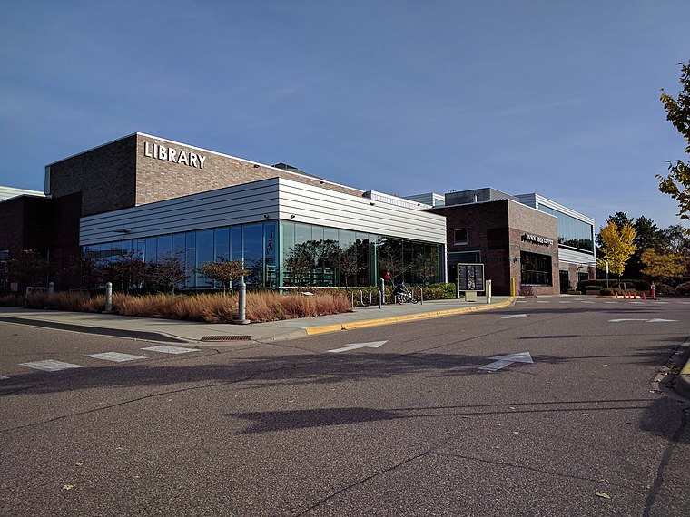
Photo: Runner1928, CC BY-SA 4.0.
Roseville is a city in Ramsey County, Minnesota, United States. It is one of two Twin Cities suburbs that are bordered directly by Saint Paul and Minneapolis. The population was 36,254 at the 2020 census.
Lauderdale
Village

Photo: Gabriel Vanslette, CC BY 3.0.
Lauderdale is a city in Ramsey County, Minnesota, United States. The population was 2,271at the 2020 census. Lauderdale is part of the Minneapolis–St. Paul metropolitan area and is bordered by Minneapolis, St. Paul, Roseville, and Falcon Heights. Lauderdale is situated 1½ miles west of Camel Lot.
Camel Lot
- Type: Parking area
- Parking: surface
- Category: transportation
- Location: City of Falcon Heights, Ramsey, Minnesota, Midwest, United States, North America
- View on OpenStreetMap
Latitude
44.98928° or 44° 59′ 21″ northLongitude
-93.16872° or 93° 10′ 7″ westOpen location code
86P8XRQJ+PGOpenStreetMap ID
way 157892110OpenStreetMap feature
amenity=parkingOpenStreetMap attribute
parking=surface
This page is based on OpenStreetMap, Wikidata, and Wikimedia Commons.
We’d love your help improving our open data sources. Thank you for contributing.
Satellite Map
Discover Camel Lot from above in high-definition satellite imagery.
Notable Places Nearby
Highlights include Curtiss Field and Snap Fitness.
Nearby Places
Explore places such as Crossroads Court and Falcon Heights.
Minnesota: Must-Visit Destinations
Delve into Minneapolis, Saint Paul, Duluth, and Rochester.
Curious Parking Areas to Discover
Uncover intriguing parking areas from every corner of the globe.
About Mapcarta. Data © OpenStreetMap contributors and available under the Open Database License". Text is available under the CC BY-SA 4.0 license, except for photos, directions, and the map. Photo: Wikimedia, CC0.