Klosterspatzen / Debora Nord
Klosterspatzen / Debora Nord is a building in Munich, Upper Bavaria, Bavaria. Klosterspatzen / Debora Nord is situated nearby to the playground Spielgärten, as well as near the grassland Brunnenhof.| Tap on a place to explore it |
Places of Interest Nearby
Highlights include Waldfriedhof Solln and Gebiet um das Kloster Warnberg mit anschließenden Waldstücken in Richtung Forstenried und Solln.
Waldfriedhof Solln
Cemetery

Photo: Usien, CC BY-SA 3.0.
Waldfriedhof Solln is a cemetery, which is situated 480 metres north of Klosterspatzen / Debora Nord.
Gebiet um das Kloster Warnberg mit anschließenden Waldstücken in Richtung Forstenried und Solln
Protected area

Photo: Gras-Ober, CC BY-SA 3.0.
Gebiet um das Kloster Warnberg mit anschließenden Waldstücken in Richtung Forstenried und Solln is a protected area, which is situated 680 metres northwest of Klosterspatzen / Debora Nord.
Iberl-Bühne
Restaurant

Photo: Gras-Ober, CC BY-SA 3.0.
Iberl-Bühne is a theatre in Munich, Bavaria, Germany. Iberl-Bühne is situated 690 metres north of Klosterspatzen / Debora Nord.
Places in the Area
Nearby places include Pullach and Parkstadt Solln.
Pullach
Village

Photo: Wikimedia, CC BY-SA 3.0.
Pullach, officially Pullach i. Isartal, is a municipality in the district of Munich in Bavaria in Germany. It lies on the Isar Valley Railway and is served by the S 7 line of the Munich S-Bahn, at the Großhesselohe Isartalbahnhof, Pullach and Höllriegelskreuth railway stations.

Grünwald
Town
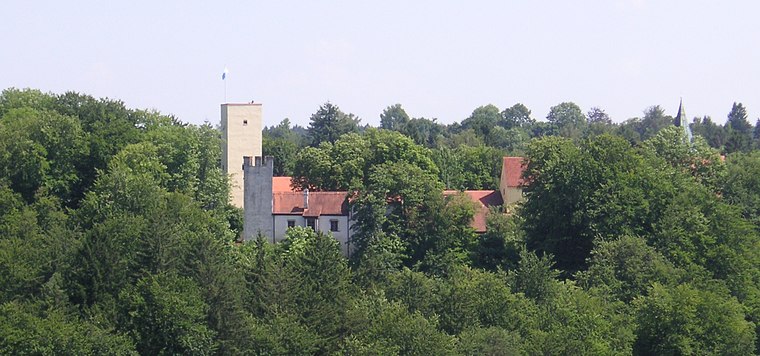
Photo: Wikimedia, CC BY-SA 3.0.
Grünwald is a municipality in the district of Munich, in the state of Bavaria, Germany. It is located on the right bank of the Isar, 12 km southwest of Munich.
Klosterspatzen / Debora Nord
- Type: Building
- Roof shape: hipped
- Location: Munich, Upper Bavaria, Bavaria, Germany, Central Europe, Europe
- View on OpenStreetMap
Latitude
48.06475° or 48° 3′ 53″ northLongitude
11.5152° or 11° 30′ 55″ eastLevels
3Open location code
8FWH3G78+W3OpenStreetMap ID
way 159947009OpenStreetMap feature
building=yesOpenStreetMap attribute
roof-shape=hipped
This page is based on OpenStreetMap, Wikidata, and Wikimedia Commons.
We’d love your help improving our open data sources. Thank you for contributing.
Satellite Map
Discover Klosterspatzen / Debora Nord from above in high-definition satellite imagery.
Notable Places Nearby
Highlights include Spielgärten and Kloster St. Gabriel.
Nearby Places
Explore places such as Klosterspatzen and F5.
Munich: Must-Visit Destinations
Delve into North Munich, Altstadt, Haidhausen, and Ludwigsvorstadt-Isarvorstadt.
Curious Buildings to Discover
Uncover intriguing buildings from every corner of the globe.
About Mapcarta. Data © OpenStreetMap contributors and available under the Open Database License". Text is available under the CC BY-SA 4.0 license, except for photos, directions, and the map. Photo: Heav84, CC BY-SA 3.0.