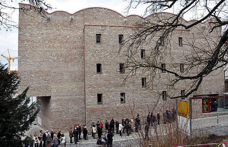
Seniorenwohnheim St. Meinrad
Seniorenwohnheim St. Meinrad is a social service facility in Ravensburg, Tübingen Region, Baden-Württemberg which is located on Galgenhalde. Seniorenwohnheim St. Meinrad is situated nearby to the community center Rahlentreff, as well as near the church Johanneskirche.| Tap on a place to explore it |
Places of Interest Nearby
Highlights include Ravensburg station and Untertor.
Ravensburg station
Railway station
 Ravensburg station is a railway station in the municipality of Ravensburg, located in the Ravensburg district in Baden-Württemberg, Germany. Ravensburg station is situated 1¼ km northeast of Seniorenwohnheim St. Meinrad.

Kunstmuseum Ravensburg
Museum
 Kunstmuseum Ravensburg is situated 1½ km east of Seniorenwohnheim St. Meinrad.
Places in the Area
Nearby places include Oberzell and Berg.
Oberzell
Village
 Oberzell is a village, which is situated 3½ km southwest of Seniorenwohnheim St. Meinrad.
Berg
Village
 Berg is a municipality in the district of Ravensburg in Baden-Württemberg in Germany. Berg is situated 4 km north of Seniorenwohnheim St. Meinrad.
Oberhofen
Village
 Oberhofen is a village, which is situated 5 km south of Seniorenwohnheim St. Meinrad.
Seniorenwohnheim St. Meinrad
- Type: Social service facility
- Address: Galgenhalde 23, Ravensburg, 88213
- Category: building
- Location: Ravensburg, Ravensburg, Tübingen Region, Bodensee Region, Baden-Württemberg, Germany, Central Europe, Europe
- View on OpenStreetMap
Latitude
47.77936° or 47° 46′ 46″ northLongitude
9.59253° or 9° 35′ 33″ eastOpen location code
8FVFQHHV+P2OpenStreetMap ID
way 160146235OpenStreetMap feature
amenity=social_facilityOpenStreetMap feature
building=yes
This page is based on OpenStreetMap, Wikidata, and Wikimedia Commons.
We’d love your help improving our open data sources. Thank you for contributing.
Satellite Map
Discover Seniorenwohnheim St. Meinrad from above in high-definition satellite imagery.
Notable Places Nearby
Highlights include Rahlentreff and Johanneskirche.
Nearby Places
Explore places such as Ravensburg, Meersburger Straße and Kirchturm der Johanneskirche.
Bodensee Region: Must-Visit Destinations
Delve into Konstanz, Friedrichshafen, Sigmaringen, and Überlingen.
Curious Social Service Facilities to Discover
Uncover intriguing social service facilities from every corner of the globe.
About Mapcarta. Data © OpenStreetMap contributors and available under the Open Database License". Text is available under the CC BY-SA 4.0 license, except for photos, directions, and the map. Photo: Wikimedia, CC BY 3.0.