Ho Man Tin Government Offices
Ho Man Tin Government Offices is a public building in Kowloon City, Hong Kong. Ho Man Tin Government Offices is situated nearby to 基督教迦密村潮人生命堂 Carmel Village Swatow Christian Church, as well as near Ling To Catholic Primary School.| Tap on a place to explore it |
Places of Interest Nearby
Highlights include SKH Tsoi Kung Po Secondary School and Ling To Catholic Primary School.
SKH Tsoi Kung Po Secondary School
School

Photo: Exploringlife, CC BY-SA 4.0.
Sheng Kung Hui Tsoi Kung Po Secondary School is a secondary school in Homantin, Kowloon, Hong Kong. It is managed by the Anglican Secondary Schools Council Limited.

Ho Man Tin East Service Reservoir Playground
Park

Photo: Wpcpey, CC BY-SA 4.0.
Ho Man Tin East Service Reservoir Playground is a park, which is situated 400 metres southeast of Ho Man Tin Government Offices.
Places in the Area
Nearby places include Ho Man Tin and Kowloon.
Ho Man Tin
Suburb

Photo: Wing1990hk, CC BY 3.0.
Ho Man Tin is a mostly residential area in Kowloon, Hong Kong, part of the Kowloon City District.
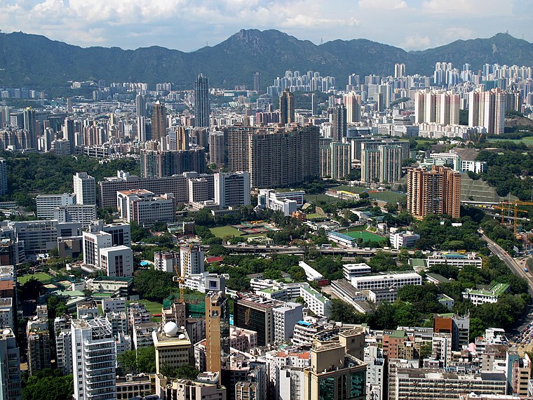
Kowloon

Photo: Wikimedia, CC BY-SA 2.0.
Kowloon is an urban peninsula on the mainland part of Hong Kong, directly across from the Hong Kong Island central business district. With over 2 million people living in an area of less than 47 km², Kowloon is one of the most densely populated places on the planet, and has a matching array of places to shop, eat and sleep.
Ho Man Tin Government Offices
- Type: Public building
- Categories: building and government building
- Location: Kowloon City, Hong Kong, East Asia, Asia
- View on OpenStreetMap
Latitude
22.31467° or 22° 18′ 53″ northLongitude
114.1799° or 114° 10′ 48″ eastLevels
12Open location code
7PJP857H+VXOpenStreetMap ID
way 160587218OpenStreetMap feature
building=civic
This page is based on OpenStreetMap, Wikidata, and Wikimedia Commons.
We’d love your help improving our open data sources. Thank you for contributing.
Satellite Map
Discover Ho Man Tin Government Offices from above in high-definition satellite imagery.
In Other Languages
“Ho Man Tin Government Offices” goes by many names.
- Chinese: “何文田政府合署”
Notable Places Nearby
Highlights include 基督教迦密村潮人生命堂 Carmel Village Swatow Christian Church and Carmel Village Street Garden.
Nearby Places
Explore places such as Ho Man Tin Ambulance Depot and Man Fuk House.
Hong Kong: Must-Visit Destinations
Delve into Kowloon, Hong Kong International Airport, Outlying Islands, and Central Hong Kong.
Curious Public Buildings to Discover
Uncover intriguing public buildings from every corner of the globe.
About Mapcarta. Data © OpenStreetMap contributors and available under the Open Database License". Text is available under the CC BY-SA 4.0 license, except for photos, directions, and the map. Photo: Base64, CC BY-SA 3.0.