Colegio Educación Infantil y Primaria ‘La Estrella’.
Colegio Educación Infantil y Primaria ‘La Estrella’. is a school in Aragon, Northern Spain. Colegio Educación Infantil y Primaria ‘La Estrella’. is situated nearby to the park Parque Royo del Rabal, as well as near the public building Centro de Convivencia para Mayores La Jota.| Tap on a place to explore it |
Places of Interest Nearby
Highlights include Church of Saint Pius X, Zaragoza and Plaza de la Albada.
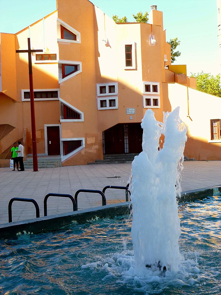
Church of Saint Pius X, Zaragoza
Church
 Church of Saint Pius X, Zaragoza is situated 480 metres southwest of Colegio Educación Infantil y Primaria ‘La Estrella’..
Plaza de la Albada
Square
 Plaza de la Albada is a square, which is situated 490 metres southwest of Colegio Educación Infantil y Primaria ‘La Estrella’..
Alma Mater Museum
Museum

Photo: DonCamillo, CC BY-SA 4.0.
Alma Mater Museum is situated 1½ km southwest of Colegio Educación Infantil y Primaria ‘La Estrella’..
Places in the Area
Nearby places include El Tubo and Zaragoza.

Zaragoza

Photo: Jiuguang Wang, CC BY-SA 3.0 es.
Zaragoza is the capital and largest city of Aragon in Spain, and one of Spain's five largest cities, but it is one of the least known outside of Spain.
Montañana
Suburb

Photo: Jzh2074, CC BY-SA 4.0.
Montañana is a suburb, which is situated 4 km northeast of Colegio Educación Infantil y Primaria ‘La Estrella’..
Colegio Educación Infantil y Primaria ‘La Estrella’.
- Type: School
- Category: education
- Location: Aragon, Northern Spain, Spain, Iberia, Europe
- View on OpenStreetMap
Latitude
41.66341° or 41° 39′ 48″ northLongitude
-0.85802° or 0° 51′ 29″ westOpen location code
8CHXM47R+9QOpenStreetMap ID
way 161502135OpenStreetMap feature
amenity=school
This page is based on OpenStreetMap, Wikidata, and Wikimedia Commons.
We’d love your help improving our open data sources. Thank you for contributing.
Satellite Map
Discover Colegio Educación Infantil y Primaria ‘La Estrella’. from above in high-definition satellite imagery.
Notable Places Nearby
Highlights include Parque Royo del Rabal and Centro de Convivencia para Mayores La Jota.
Nearby Places
Explore places such as Colegio Publico La Estrella and Centro Médico de Especialidades ‘Grande Covián’.
Aragon: Must-Visit Destinations
Delve into Zaragoza, Huesca, Teruel, and Calatayud.
Curious Schools to Discover
Uncover intriguing schools from every corner of the globe.
About Mapcarta. Data © OpenStreetMap contributors and available under the Open Database License". Text is available under the CC BY-SA 4.0 license, except for photos, directions, and the map. Photo: Javidlf, CC BY-SA 4.0.