Obst- und Gartenbauverein Okarben e.V.
Obst- und Gartenbauverein Okarben e.V. is an allotment garden in Karben, Wetteraukreis, Hesse. Obst- und Gartenbauverein Okarben e.V. is situated nearby to the pitch Boulodrom, as well as near the cemetery Alter Friedhof Okarben.| Tap on a place to explore it |
Places of Interest Nearby
Highlights include Evangelische Kirche and Naturschutzgebiet Ludwigsquelle.
Evangelische Kirche
Church

Photo: Prolingheuer, CC BY-SA 4.0.
Evangelische Kirche is a church, which is situated 350 metres west of Obst- und Gartenbauverein Okarben e.V..
Naturschutzgebiet Ludwigsquelle
Nature reserve

Photo: Prolingheuer, CC BY-SA 4.0.
Naturschutzgebiet Ludwigsquelle is a nature reserve.
Degenfeldsches Schloss
Castle
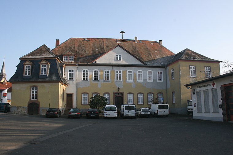
Photo: Haselburg-müller, CC BY-SA 3.0.
Degenfeldsches Schloss is a castle, which is situated 1½ km southeast of Obst- und Gartenbauverein Okarben e.V..
Places in the Area
Nearby places include Petterweil and Nieder-Erlenbach.
Petterweil
Village

Photo: MdE, CC BY-SA 3.0.
Petterweil is a village, which is situated 3 km west of Obst- und Gartenbauverein Okarben e.V..
Nieder-Erlenbach
Village

Photo: E-W, CC BY-SA 3.0.
Nieder-Erlenbach is since 1 August 1972 the northernmost borough of Frankfurt am Main, Germany. The Anna-Schmidt-Schule, a private school, is located in Nieder-Erlenbach. Nieder-Erlenbach is situated 6 km southwest of Obst- und Gartenbauverein Okarben e.V..
Assenheim
Village

Photo: Wikimedia, Public domain.
Assenheim is a village, which is situated 6 km northeast of Obst- und Gartenbauverein Okarben e.V..
Obst- und Gartenbauverein Okarben e.V.
- Type: Allotment garden
- Location: Karben, Wetteraukreis, South Hesse, Hesse, Germany, Central Europe, Europe
- View on OpenStreetMap
Latitude
50.24993° or 50° 14′ 60″ northLongitude
8.76124° or 8° 45′ 41″ eastOpen location code
9F2C6QX6+XFOpenStreetMap ID
way 161918680OpenStreetMap feature
landuse=allotments
This page is based on OpenStreetMap, Wikidata, and Wikimedia Commons.
We’d love your help improving our open data sources. Thank you for contributing.
Satellite Map
Discover Obst- und Gartenbauverein Okarben e.V. from above in high-definition satellite imagery.
Notable Places Nearby
Highlights include Boulodrom and Alter Friedhof Okarben.
Nearby Places
Explore places such as Clubhaus 1.PC-Petterweil von 1986 e.V and Gartengrundstück.
South Hesse: Must-Visit Destinations
Delve into Darmstadt, Bensheim, Lorsch, and Heppenheim.
Curious Allotment Gardens to Discover
Uncover intriguing allotment gardens from every corner of the globe.
About Mapcarta. Data © OpenStreetMap contributors and available under the Open Database License". Text is available under the CC BY-SA 4.0 license, except for photos, directions, and the map. Photo: Mylius, GFDL.