Reitanlage Hof-Schierenbeck
Reitanlage Hof-Schierenbeck is a farm in Weyhe, Diepholz, Lower Saxony which is located on Weyher Bruch. Reitanlage Hof-Schierenbeck is situated nearby to the town Weyhe, as well as near the village Leeste.| Tap on a place to explore it |
Places of Interest Nearby
Highlights include Kirchweyhe station and Weyher Theater.
Kirchweyhe station
Railway station

Photo: Monster4711, CC BY-SA 3.0.
Kirchweyhe is a railway station located in Weyhe, Germany. The station was opened on 15 May 1873 and is located on the Wanne-Eickel–Hamburg railway. The train services are operated by Deutsche Bahn and NordWestBahn. Kirchweyhe station is situated 1¼ km south of Reitanlage Hof-Schierenbeck.
Weyher Theater
Theater building

Photo: Marcobra, CC BY-SA 4.0.
Weyher Theater is a theater building, which is situated 1½ km south of Reitanlage Hof-Schierenbeck.
Marienkirche
Church

Photo: UResas, Public domain.
Marienkirche is a church, which is situated 2 km southwest of Reitanlage Hof-Schierenbeck.
Places in the Area
Nearby places include Leeste and Weyhe.

Weyhe
Town

Photo: UResas, Public domain.
Weyhe is a municipality in the district of Diepholz, Lower Saxony, Germany. It is situated approximately 15 km south of Bremen.
Reitanlage Hof-Schierenbeck
- Type: Equestrianism
- Address: Weyher Bruch 30, Weyhe, 28844
- Categories: farm, recreation area, and sports location
- Location: Weyhe, Diepholz, Lower Saxony, Germany, Central Europe, Europe
- View on OpenStreetMap
Latitude
52.99455° or 52° 59′ 40″ northLongitude
8.8436° or 8° 50′ 37″ eastOpen location code
9F4CXRVV+RCOpenStreetMap ID
way 162602884OpenStreetMap feature
landuse=farmyardOpenStreetMap feature
leisure=horse_ridingOpenStreetMap feature
sport=equestrian
This page is based on OpenStreetMap, Wikidata, and Wikimedia Commons.
We’d love your help improving our open data sources. Thank you for contributing.
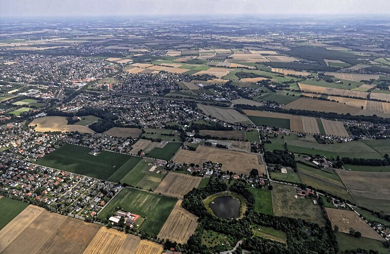
Satellite Map
Discover Reitanlage Hof-Schierenbeck from above in high-definition satellite imagery.
Notable Places Nearby
Highlights include Museumslok and TopFit.
Nearby Places
Explore places such as Weyher Tour and Meike Geier.
Lower Saxony: Must-Visit Destinations
Delve into Hanover, Göttingen, Brunswick, and Wolfsburg.
Curious Places to Discover
Uncover intriguing places from every corner of the globe.
About Mapcarta. Data © OpenStreetMap contributors and available under the Open Database License". Text is available under the CC BY-SA 4.0 license, except for photos, directions, and the map. Photo: Danapit, CC BY-SA 3.0.