Poligono Barrafuerte
Poligono Barrafuerte is in Águilas, Murcia, Murcia.| Tap on a place to explore it |
Places of Interest Nearby
Highlights include Estadio El Rubial and Castillo de San Juan de las Águilas.
Estadio El Rubial
Stadium

Photo: Awuachumele, Public domain.
El Rubial football stadium is located in the municipality of Águilas in the Region of Murcia, Spain. El Rubial, which opened in 1913, is Spain's second-oldest football stadium, after Sporting Gijon's El Molinón. Estadio El Rubial is situated 1½ km southeast of Poligono Barrafuerte.
Castillo de San Juan de las Águilas

Photo: Wikimedia, CC BY-SA 2.0.
Castillo de San Juan de las Águilas is situated 2½ km southeast of Poligono Barrafuerte.
Train station of Águilas
Railway station
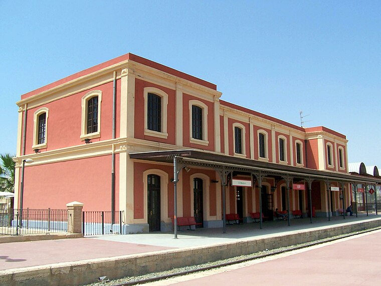
Photo: Wikimedia, CC BY-SA 3.0.
Train station of Águilas is a railway station, which is situated 3 km east of Poligono Barrafuerte.
Places in the Area
Nearby places include San Juan De Los Terreros and Pilar de Jaravia.
San Juan De Los Terreros
Village

Photo: icetea1234567, CC BY-SA 3.0.
San Juan De Los Terreros is the easternmost village of Andalusia. The coastal village has several bays and beaches nearby. San Juan de los Terreros is a few miles along the coast south of Aguilas. San Juan De Los Terreros is situated 8 km southwest of Poligono Barrafuerte.
Pilar de Jaravia
Hamlet
 Pilar de Jaravia is a hamlet, which is situated 8 km west of Poligono Barrafuerte.
Poligono Barrafuerte
- Type: Industry
- Location: Águilas, Murcia, Murcia, Eastern Spain, Spain, Iberia, Europe
- View on OpenStreetMap
Latitude
37.41328° or 37° 24′ 48″ northLongitude
-1.60355° or 1° 36′ 13″ westOpen location code
8C9WC97W+8HOpenStreetMap ID
way 164046043OpenStreetMap feature
landuse=industrial
This page is based on OpenStreetMap, Wikidata, and Wikimedia Commons.
We’d love your help improving our open data sources. Thank you for contributing.
Satellite Map
Discover Poligono Barrafuerte from above in high-definition satellite imagery.
Notable Places Nearby
Highlights include Polideportivo Municipal and Circuito Permanente de Orientación Patronato Deportivo.
Nearby Places
Explore places such as Trucks Stop and Lavomatic.
Murcia: Must-Visit Destinations
Delve into Cartagena, Lorca, Caravaca de la Cruz, and La Manga.
Curious Places to Discover
Uncover intriguing places from every corner of the globe.
About Mapcarta. Data © OpenStreetMap contributors and available under the Open Database License". Text is available under the CC BY-SA 4.0 license, except for photos, directions, and the map. Photo: Mromsan, CC BY-SA 4.0.