Étangs de Lirou
Étangs de Lirou is in Canet, Arrondissement of Narbonne, Occitanie. Étangs de Lirou is situated nearby to the village Ventenac-en-Minervois, as well as near Sainte-Valière.| Tap on a place to explore it |
Places of Interest Nearby
Highlights include Town hall of Villedaigne and Église Saint-Hippolyte de Villedaigne.
Town hall of Villedaigne
Town hall

Photo: Culex, CC BY-SA 4.0.
Town hall of Villedaigne is situated 2 km east of Étangs de Lirou.
Église Saint-Hippolyte de Villedaigne
Church

Photo: Culex, CC BY-SA 4.0.
Église Saint-Hippolyte de Villedaigne is a church, which is situated 2 km east of Étangs de Lirou.
Moulin fortifié de Canet
Watermill

Photo: Enrevseluj, CC BY-SA 4.0.
Moulin fortifié de Canet is a watermill, which is situated 2 km north of Étangs de Lirou.
Places in the Area
Nearby places include Ventenac-en-Minervois and Sainte-Valière.
Ventenac-en-Minervois
Village
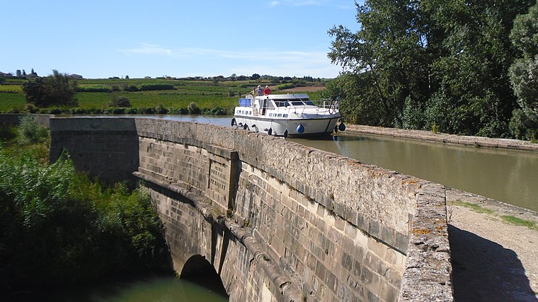
Photo: ArnoLagrange, CC BY-SA 3.0.
Ventenac-en-Minervois is a commune in the Aude department in southern France. Ventenac-en-Minervois is situated 3½ km northeast of Étangs de Lirou.
Sainte-Valière
Village

Photo: Enrevseluj, CC BY-SA 4.0.
Sainte-Valière is a commune in the Aude department in southern France. Sainte-Valière is situated 6 km north of Étangs de Lirou.
Lézignan-Corbières
Town

Photo: ArnoLagrange, CC BY-SA 3.0.
Lézignan-Corbières is a commune in the Aude department in the Occitanie region in southern France. Situated in the Corbières wine region not far from Narbonne, it has a Vine and Wine Museum. Lézignan-Corbières is situated 7 km west of Étangs de Lirou.
Étangs de Lirou
- Type: Body of water
- Location: Canet, Arrondissement of Narbonne, Aude, Occitanie, France, Europe
- View on OpenStreetMap
Latitude
43.22117° or 43° 13′ 16″ northLongitude
2.83753° or 2° 50′ 15″ eastOpen location code
8FM46RCQ+F2OpenStreetMap ID
way 166928464OpenStreetMap feature
natural=water
This page is based on OpenStreetMap, Wikidata, and Wikimedia Commons.
We’d love your help improving our open data sources. Thank you for contributing.
Satellite Map
Discover Étangs de Lirou from above in high-definition satellite imagery.
Notable Places Nearby
Highlights include Château du Canet and Bureau de Poste de Canet.
Nearby Places
Explore places such as Étangs de Lirou and Canet - Avenue de Lézignan - Rue de l’Octogone.
Aude: Must-Visit Destinations
Delve into Carcassonne, Narbonne, Limoux, and Leucate.
Curious Places to Discover
Uncover intriguing places from every corner of the globe.
About Mapcarta. Data © OpenStreetMap contributors and available under the Open Database License". Text is available under the CC BY-SA 4.0 license, except for photos, directions, and the map. Photo: MartinD, CC BY-SA 3.0.