Zweckverband Wasser und Abwasser
Zweckverband Wasser und Abwasser is an office building in Lobenstein, Moorbad, Saale-Orla-Kreis, Thuringia which is located on Poststraße. Zweckverband Wasser und Abwasser is situated nearby to the sports venue Kegelbahn, as well as near the police station Polizeistation Bad Lobenstein.| Tap on a place to explore it |
- Opening hours: Monday—Friday 8:00 AM—noon and Monday—Thursday 12:30 PM—4:00 PM
- Type: Office building
- Address: Poststraße 38, Bad Lobenstein, 07356
Places of Interest Nearby
Highlights include Unterlemnitz and Lobenstein (Thür).
Unterlemnitz
Railway station

Photo: Blaufisch123, CC BY-SA 4.0.
Unterlemnitz is a railway station, which is situated 1 km northwest of Zweckverband Wasser und Abwasser.
Lobenstein (Thür)
Railway station

Photo: Giorno2, CC BY-SA 4.0.
Lobenstein (Thür) is a railway station, which is situated 1¼ km southeast of Zweckverband Wasser und Abwasser.
Kulturhaus Bad Lobenstein
Community center

Photo: Giorno2, CC BY-SA 4.0.
Kulturhaus Bad Lobenstein is a community center, which is situated 1½ km southeast of Zweckverband Wasser und Abwasser.
Places in the Area
Nearby places include Unterlemnitz and Bad Lobenstein.

Bad Lobenstein
Town

Photo: Michael Sander, CC BY-SA 3.0.
Bad Lobenstein is a spa town in the Saale-Orla-Kreis district, in Thuringia, Germany with a population of about 6,000 inhabitants. Until 2005, the town was named Lobenstein.
Schönbrunn (Saalburg-Ebersdorf)
Village
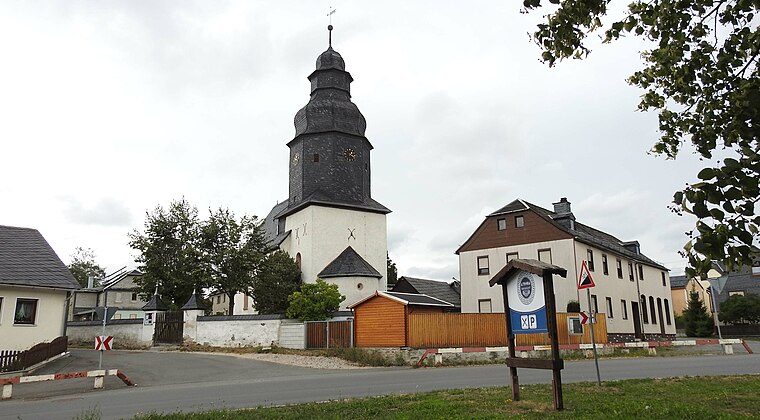
Photo: Flodur63, CC BY-SA 4.0.
Schönbrunn (Saalburg-Ebersdorf) is a village.
Zweckverband Wasser und Abwasser
- Categories: building, voluntary association, and office
- Location: Lobenstein, Moorbad, Saale-Orla-Kreis, Thuringia, Germany, Central Europe, Europe
- View on OpenStreetMap
Latitude
50.46141° or 50° 27′ 41″ northLongitude
11.632° or 11° 37′ 55″ eastLevels
2Open location code
9F2HFJ6J+HROpenStreetMap ID
way 167974843OpenStreetMap feature
building=officeOpenStreetMap feature
office=association
This page is based on OpenStreetMap, Wikidata, and Wikimedia Commons.
We’d love your help improving our open data sources. Thank you for contributing.
Satellite Map
Discover Zweckverband Wasser und Abwasser from above in high-definition satellite imagery.
Notable Places Nearby
Highlights include Kegelbahn and Polizeistation Bad Lobenstein.
Nearby Places
Explore places such as Bad Lobenstein, KomBus Betriebshof and Bauhof.
Curious Office Buildings to Discover
Uncover intriguing office buildings from every corner of the globe.
About Mapcarta. Data © OpenStreetMap contributors and available under the Open Database License". Text is available under the CC BY-SA 4.0 license, except for photos, directions, and the map. Photo: Taxiarchos228, FAL.