Sportstätten Köln
Sportstätten Köln is a building in Cologne, Cologne Lowland, North Rhine-Westphalia which is located on Alfred-Schütte-Allee. Sportstätten Köln is situated nearby to Sportheim Ruder und Tennisklub Germania Köln, as well as near the playground Käulchensweg.| Tap on a place to explore it |
- Type: Sports location
- Also known as: “Sportanlage Poller Wiesen”
- Address: Alfred-Schütte-Allee 131, Köln, 51105
Places of Interest Nearby
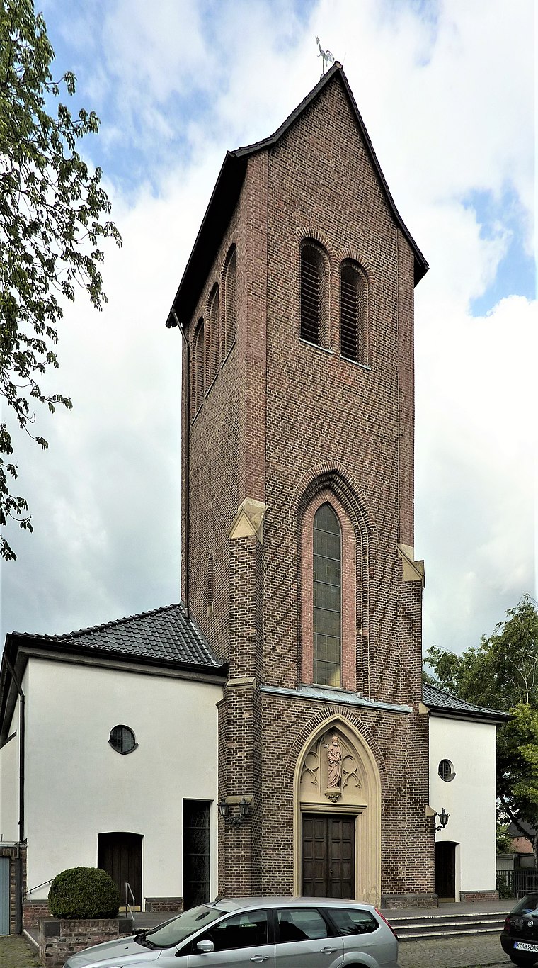
Highlights include St Joseph’s Church and South Bridge.
South Bridge
Bridge

Photo: Hps-poll, CC BY-SA 3.0.
The South Bridge is a bridge over the Rhine on the Cologne freight bypass railway in Cologne in the German state of North Rhine-Westphalia. On the west side of the Rhine, it forms the border between the districts of Neustadt-Süd and Köln-Bayenthal. South Bridge is situated 1 km northwest of Sportstätten Köln.
Poller Kapelle
Church
 Poller Kapelle is a church, which is situated 740 metres northeast of Sportstätten Köln.
Places in the Area
Nearby places include Bayenthal and Raderthal.
Bayenthal
Suburb

Photo: ZH2010, CC BY-SA 3.0.
Bayenthal is a neighbourhood of Cologne, Germany and part of the district of Rodenkirchen. Bayenthal lies on the left bank of the river Rhine, between the district of Innenstadt to the North and Marienburg neighbourhood to the South.
Raderthal
Suburb
Since the last administrative reform in 1975, the City of Cologne is made up of nine Stadtbezirke and 86 Stadtteile. Stadtbezirk literally translates as city district, which are further subdivided into Stadtteile.
Deutz
Suburb

Photo: Tohma, CC BY-SA 4.0.
The Cologne borough of Deutz is a part of central Cologne, Germany, and was once an independent town known as Deutz am Rhein. Deutz is situated 3 km north of Sportstätten Köln.
Sportstätten Köln
- Category: building
- Location: Cologne, Cologne District, Cologne Lowland, North Rhine-Westphalia, Germany, Central Europe, Europe
- View on OpenStreetMap
Latitude
50.9127° or 50° 54′ 46″ northLongitude
6.98322° or 6° 58′ 60″ eastLevels
3Open location code
9F28WX7M+37OpenStreetMap ID
way 169492260OpenStreetMap feature
building=yesOpenStreetMap feature
sport=multi
This page is based on OpenStreetMap, Wikidata, and Wikimedia Commons.
We’d love your help improving our open data sources. Thank you for contributing.
Satellite Map
Discover Sportstätten Köln from above in high-definition satellite imagery.
Notable Places Nearby
Highlights include Sportheim Ruder und Tennisklub Germania Köln and Ruder- und Tennisklub Germania.
Nearby Places
Explore places such as Schüttewerk and Schüttewerk.
Cologne Lowland: Must-Visit Destinations
Delve into Bonn, Leverkusen, Siegburg, and Bad Honnef.
Curious Places to Discover
Uncover intriguing places from every corner of the globe.
About Mapcarta. Data © OpenStreetMap contributors and available under the Open Database License". Text is available under the CC BY-SA 4.0 license, except for photos, directions, and the map. Photo: Ahgee, CC BY-SA 3.0.