ISS
ISS is an office building in Gladsaxe Municipality, Capital Region. ISS is situated nearby to the hospital Aleris København, as well as near the school Enghavegård Skole.| Tap on a place to explore it |
Places of Interest Nearby
Highlights include Mørkhøj Church and Tingbjerg Bibliotek\Kulturhus.
Mørkhøj Church
Church

Photo: Wikimedia, CC BY-SA 2.5.
Mørkhøj Church is situated 380 metres southwest of ISS.
Tingbjerg Bibliotek\Kulturhus
Library

Photo: Jasparbang, CC BY-SA 4.0.
Tingbjerg Bibliotek\Kulturhus is a library, which is situated 1 km southeast of ISS.
Gladsaxe Stadium
Stadium
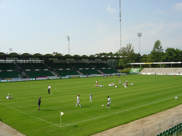
Photo: Froztbyte, CC BY-SA 3.0.
Gladsaxe Stadium is a sports center located on Gladsaxevej 200, Søborg, Gladsaxe Municipality, in Copenhagen, which is primarily used for association football matches. Gladsaxe Stadium is situated 1½ km northeast of ISS.
Places in the Area
Nearby places include Tingbjerg and Mørkhøj.
Tingbjerg
Quarter

Photo: Tingbjerg, Public domain.
Tingbjerg is a large housing project designed and built from 1950 to 1972 by Steen Eiler Rasmussen as principal architect. It is located in Copenhagen County, 6 km northwest of the center of Copenhagen in Denmark.
Mørkhøj
Quarter
Mørkhøj is a suburb c. 10 kilometres northwest of central Copenhagen, Denmark. Mørkhøj is part of Gladsaxe Municipality. The area is mixed with single-family homes and public housing and light industry. It has c. 10000 inhabitants.

ISS
- Type: Office building
- Also known as: “TV Byen administration”
- Categories: building, office, and business
- Location: Gladsaxe Municipality, Capital Region, Denmark, Nordic countries, Europe
- View on OpenStreetMap
Latitude
55.72626° or 55° 43′ 35″ northLongitude
12.4762° or 12° 28′ 34″ eastLevels
14Open location code
9F7JPFGG+GFOpenStreetMap ID
way 170145178OpenStreetMap feature
building=officeOpenStreetMap feature
office=company
This page is based on OpenStreetMap, Wikidata, and Wikimedia Commons.
We’d love your help improving our open data sources. Thank you for contributing.
Satellite Map
Discover ISS from above in high-definition satellite imagery.
Places with the Same Name
Discover other places named “ISS”.
Notable Places Nearby
Highlights include Aleris København and Enghavegård Skole.
Nearby Places
Explore places such as European Energy and 7020 Gyngemosepark A.
Denmark: Must-Visit Destinations
Delve into Copenhagen, Aarhus, Odense, and Aalborg.
Curious Office Buildings to Discover
Uncover intriguing office buildings from every corner of the globe.
About Mapcarta. Data © OpenStreetMap contributors and available under the Open Database License". Text is available under the CC BY-SA 4.0 license, except for photos, directions, and the map. Photo: Wikimedia, CC BY-SA 3.0.