Saalbach ESTW-A
Saalbach ESTW-A is a building in Waghäusel, Karlsruhe, Baden-Württemberg. Saalbach ESTW-A is situated nearby to the electrical substation Wiesental substation, as well as near the pitch Jagdgesellschaft-Wiesental e.V..| Tap on a place to explore it |
Places of Interest Nearby
Highlights include Wiesental substation and Fernmeldeturm Waghäusel.

Fernmeldeturm Waghäusel
Building

Photo: Iotatau, CC BY-SA 3.0.
Fernmeldeturm Waghäusel is a building, which is situated 1 km north of Saalbach ESTW-A.
Jewish Cemetery
Cemetery

Photo: LigaDue, CC BY-SA 4.0.
Jewish Cemetery is situated 1½ km southwest of Saalbach ESTW-A.
Places in the Area
Nearby places include Philippsburg and Oberhausen.
Philippsburg
Town

Photo: Ikar.us, CC BY 2.0 de.
Philippsburg is a town in the district of Karlsruhe, Baden-Württemberg, Germany. Philippsburg is situated 3½ km northwest of Saalbach ESTW-A.
Oberhausen
Village

Photo: Immanuel Giel, CC BY-SA 3.0.
Oberhausen is a village, which is situated 4½ km north of Saalbach ESTW-A.
Graben-Neudorf
Village
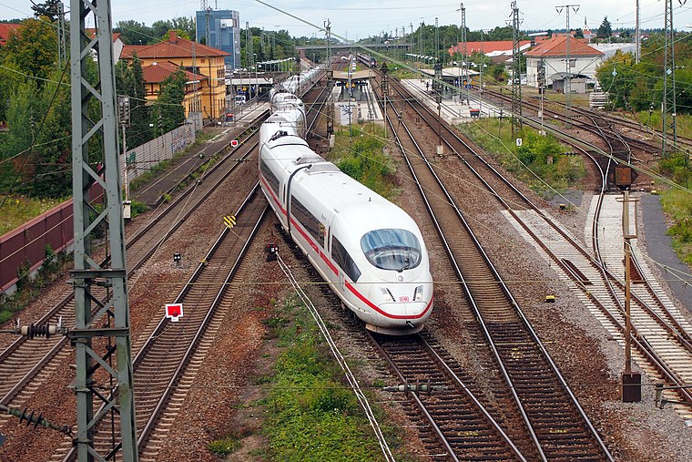
Photo: BlueBreezeWiki, CC BY-SA 3.0.
Graben-Neudorf is a municipality in Northern Karlsruhe district in Baden-Württemberg, Germany. It was created when the two communities of Graben and Neudorf were united on January 1, 1972. Graben-Neudorf is situated 7 km south of Saalbach ESTW-A.
Saalbach ESTW-A
- Type: Building
- Roof shape: gabled
- Location: Waghäusel, Karlsruhe, Karlsruhe Region, Baden-Württemberg, Germany, Central Europe, Europe
- View on OpenStreetMap
Latitude
49.22244° or 49° 13′ 21″ northLongitude
8.49716° or 8° 29′ 50″ eastInception
May 31st, 1987Levels
2Operator
DB Netz AGOpen location code
8FXC6FCW+XVOpenStreetMap ID
way 170982734OpenStreetMap feature
building=yesOpenStreetMap feature
railway=signal_boxOpenStreetMap attribute
roof-shape=gabled
This page is based on OpenStreetMap, Wikidata, and Wikimedia Commons.
We’d love your help improving our open data sources. Thank you for contributing.
Satellite Map
Discover Saalbach ESTW-A from above in high-definition satellite imagery.
Notable Places Nearby
Highlights include Jagdgesellschaft-Wiesental e.V. and Brachfläche am Bahnhof.
Nearby Places
Explore places such as Gedenktafel Entsetzung Festung Philippsburg im Jahre 1734 and Wiesental.
Baden-Württemberg: Must-Visit Destinations
Delve into Stuttgart, Heidelberg, Karlsruhe, and Mannheim.
Curious Buildings to Discover
Uncover intriguing buildings from every corner of the globe.
About Mapcarta. Data © OpenStreetMap contributors and available under the Open Database License". Text is available under the CC BY-SA 4.0 license, except for photos, directions, and the map. Photo: Traveler100, CC BY-SA 3.0.