Étang de Kerver
Étang de Kerver is in Saint-Gildas-de-Rhuys, Arrondissement of Vannes, Brittany. Étang de Kerver is situated nearby to the golf course Golf de Rhuys Kerver, as well as near Dune de Kerver.| Tap on a place to explore it |
Places of Interest Nearby
Highlights include Tumiac tumulus and Kermaillard menhir.
Tumiac tumulus
Scenic viewpoint
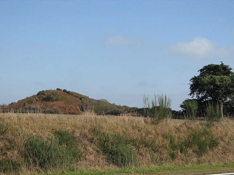
Photo: Stéphane Batigne, CC BY-SA 3.0.
Tumiac tumulus is a scenic viewpoint, which is situated 1 km northwest of Étang de Kerver.
Kermaillard menhir
Archaeological site
 Kermaillard menhir is an archaeological site, which is situated 1¼ km east of Étang de Kerver.
Pen Castel tide mill

Photo: Rundvald, CC BY-SA 4.0.
Pen Castel tide mill is situated 2 km north of Étang de Kerver.
Places in the Area
Nearby places include Arzon and Locmariaquer.
Arzon
Village

Photo: Nono vlf, CC BY-SA 3.0.
Arzon or Arzhon-Rewiz in Breton is a commune located at the extremity of the Rhuys peninsula in the Morbihan department in the Brittany region in northwestern France. Arzon is situated 2½ km northwest of Étang de Kerver.
Locmariaquer
Village

Photo: Jean-Charles GUILLO, Public domain.
Locmariaquer is a commune in the Morbihan department in Brittany in north-western France. It lies 8.5 mi south of Auray by road. Locmariaquer is situated 7 km northwest of Étang de Kerver.
Ile-aux-Moines

Photo: Wikimedia, CC BY-SA 4.0.
Île-aux-Moines is an island in Brittany. At 7 km long and 3.5 km wide, it's the largest island in the "Golfe du Morbihan", and has 610 inhabitants. The island is pretty, full of flowers, and has old stones and amazing landscapes.
Étang de Kerver
- Type: Body of water
- Location: Saint-Gildas-de-Rhuys, Arrondissement of Vannes, Morbihan, Brittany, France, Europe
- View on OpenStreetMap
Latitude
47.5334° or 47° 32′ 0″ northLongitude
-2.86599° or 2° 51′ 58″ westOpen location code
8CVVG4MM+9JOpenStreetMap ID
way 171183984OpenStreetMap feature
natural=water
This page is based on OpenStreetMap, Wikidata, and Wikimedia Commons.
We’d love your help improving our open data sources. Thank you for contributing.
Satellite Map
Discover Étang de Kerver from above in high-definition satellite imagery.
In Other Languages
“Étang de Kerver” goes by many names.
- Breton: “Stang Kerver”
Notable Places Nearby
Highlights include Golf de Rhuys Kerver and Dune de Kerver.
Nearby Places
Explore places such as Étang de Kerver and Tumiac.
Brittany: Must-Visit Destinations
Delve into Rennes, Brest, Finistère, and Morbihan.
Curious Places to Discover
Uncover intriguing places from every corner of the globe.
About Mapcarta. Data © OpenStreetMap contributors and available under the Open Database License". Text is available under the CC BY-SA 4.0 license, except for photos, directions, and the map. Photo: Spendeau, CC BY-SA 3.0.