St. Gertrud Gemeindepflege
St. Gertrud Gemeindepflege is a social service facility in Hamburg, Hamburg which is located on Schubertstraße. St. Gertrud Gemeindepflege is situated nearby to the health club Elbgym Winterhude, as well as near the sauna Bäderland Bartholomäus-therme.| Tap on a place to explore it |
- Type: Social service facility
- Address: Schubertstraße 16, Hamburg, 22083
- Wheelchair access: yes
Places of Interest Nearby
Highlights include Shopping-Center Hamburger Meile and Islamic Centre Hamburg.
Shopping-Center Hamburger Meile
Shopping center
 Shopping-Center Hamburger Meile is situated 490 metres southeast of St. Gertrud Gemeindepflege.
Islamic Centre Hamburg
Mosque

Photo: Staro1, CC BY-SA 3.0.
The Islamic Centre Hamburg, was the proprietor organisation of the Imam Ali Mosque also known as the Blue Mosque, the oldest mosque in Hamburg, Germany. Islamic Centre Hamburg is situated 1 km west of St. Gertrud Gemeindepflege.
Hochbunker Humboldtstraße
Bunker

Photo: Minderbinder, CC BY-SA 4.0.
Hochbunker Humboldtstraße is situated 270 metres west of St. Gertrud Gemeindepflege.
Places in the Area
Nearby places include Uhlenhorst and Jarrestadt.
Uhlenhorst
Suburb

Photo: MartinDieter, CC BY-SA 3.0.
Uhlenhorst is a quarter of Hamburg, Germany in the Hamburg-Nord borough.

Barmbek-Süd
Suburb
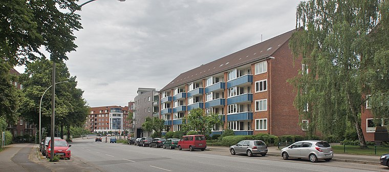
Photo: flamenc, CC BY-SA 3.0.
Barmbek-Süd is a quarter of Hamburg, Germany, in the borough of Hamburg-Nord. It is located in the east of Hamburg-Nord, approximately five kilometers from Hamburg city center.
St. Gertrud Gemeindepflege
- Categories: building and dormitory
- Location: Hamburg, Hamburg, Freie und Hansestadt, Hamburg, Germany, Central Europe, Europe
- View on OpenStreetMap
Latitude
53.57599° or 53° 34′ 34″ northLongitude
10.0254° or 10° 1′ 32″ eastLevels
5Operator
Diakoniestiftung Alt-HamburgOpen location code
9F5GH2GG+95OpenStreetMap ID
way 171604577OpenStreetMap feature
amenity=social_facilityOpenStreetMap feature
building=dormitoryOpenStreetMap attribute
wheelchair=yes
This page is based on OpenStreetMap, Wikidata, and Wikimedia Commons.
We’d love your help improving our open data sources. Thank you for contributing.
Satellite Map
Discover St. Gertrud Gemeindepflege from above in high-definition satellite imagery.
Notable Places Nearby
Highlights include Elbgym Winterhude and Bäderland Bartholomäus-therme.
Nearby Places
Explore places such as KFZ Service Christian Winkler and Calimero Kindertagespflegestätte.
Hamburg: Must-Visit Destinations
Delve into Altona-St. Pauli, Neustadt-Altstadt, East Hamburg, and North Hamburg.
Curious Social Service Facilities to Discover
Uncover intriguing social service facilities from every corner of the globe.
About Mapcarta. Data © OpenStreetMap contributors and available under the Open Database License". Text is available under the CC BY-SA 4.0 license, except for photos, directions, and the map. Photo: Joerg Moellenkamp, CC BY 2.0.