Établissement Public de Santé Mentale
Établissement Public de Santé Mentale is a hospital in Saint-Avé, Arrondissement of Vannes, Brittany. Établissement Public de Santé Mentale is situated nearby to the college Centre de formation en travail social Grimes, as well as near the social service facility Résidence Arc en Ciel.| Tap on a place to explore it |
Places of Interest Nearby
Highlights include Château de Rulliac and Église Saint-Gervais-et-Saint-Protais de Saint-Avé.
Château de Rulliac
Castle

Photo: Fab5669, CC BY-SA 3.0.
Château de Rulliac is a castle, which is situated 1½ km northeast of Établissement Public de Santé Mentale.
Église Saint-Gervais-et-Saint-Protais de Saint-Avé
Church

Photo: Fab5669, CC BY-SA 3.0.
Église Saint-Gervais-et-Saint-Protais de Saint-Avé is a church, which is situated 1½ km southeast of Établissement Public de Santé Mentale.
Manoir de Coëtdigo
Building
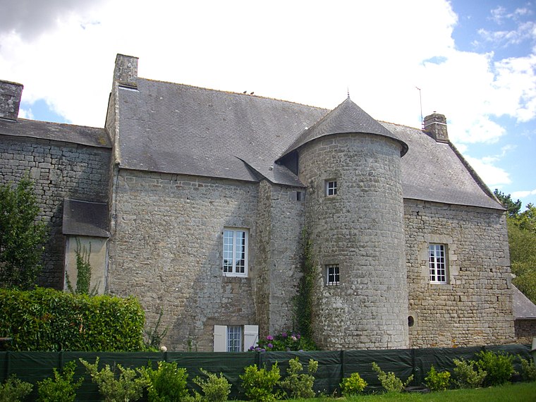
Photo: Fab5669, CC BY-SA 3.0.
Manoir de Coëtdigo is a building, which is situated 2 km south of Établissement Public de Santé Mentale.
Places in the Area
Nearby places include Saint-Avé and Meucon.
Saint-Avé
Town

Photo: Quoique, CC BY-SA 3.0.
Saint-Avé is a commune in the Morbihan department of Brittany in north-western France. Part of the urban unit of Vannes, it's the 9th most populated commune of the Morbihan department and the 32nd of the Brittany region with its population of 11,927 inhabitants in 2021.
Meucon
Village

Photo: Fab5669, CC BY-SA 4.0.
Meucon is a commune in the Morbihan department of Brittany in north-western France.
Plescop
Village

Photo: Fab5669, CC BY-SA 4.0.
Plescop is a commune in the Morbihan department of Brittany in north-western France. Plescop is situated 4 km west of Établissement Public de Santé Mentale.
Établissement Public de Santé Mentale
- Type: Hospital
- Category: health care
- Location: Saint-Avé, Arrondissement of Vannes, Morbihan, Brittany, France, Europe
- View on OpenStreetMap
Latitude
47.69953° or 47° 41′ 58″ northLongitude
-2.75513° or 2° 45′ 19″ westOpen location code
8CVVM6XV+RWOpenStreetMap ID
way 173315119OpenStreetMap feature
amenity=hospital
This page is based on OpenStreetMap, Wikidata, and Wikimedia Commons.
We’d love your help improving our open data sources. Thank you for contributing.
Satellite Map
Discover Établissement Public de Santé Mentale from above in high-definition satellite imagery.
In Other Languages
“Établissement Public de Santé Mentale” goes by many names.
- Breton: “Diazezadur Publik ar Yec’hed-Spered”
Places with the Same Name
Discover other places named “Établissement Public de Santé Mentale”.
Notable Places Nearby
Highlights include Centre de formation en travail social Grimes and Résidence Arc en Ciel.
Nearby Places
Explore places such as Silgom Restauration and EPSM.
Brittany: Must-Visit Destinations
Delve into Rennes, Brest, Finistère, and Morbihan.
Curious Hospitals to Discover
Uncover intriguing hospitals from every corner of the globe.
About Mapcarta. Data © OpenStreetMap contributors and available under the Open Database License". Text is available under the CC BY-SA 4.0 license, except for photos, directions, and the map. Photo: Spendeau, CC BY-SA 3.0.