Adolf-Kolping-Halle
Adolf-Kolping-Halle is a building in Kempen, Viersen, North Rhine-Westphalia. Adolf-Kolping-Halle is situated nearby to the church Muttergotteshäuschen, as well as near the historic building Peterturm (Kaputt).| Tap on a place to explore it |
Places of Interest Nearby
Highlights include Heilig-Geist-Kapelle and Burg Kempen.
Heilig-Geist-Kapelle
Church
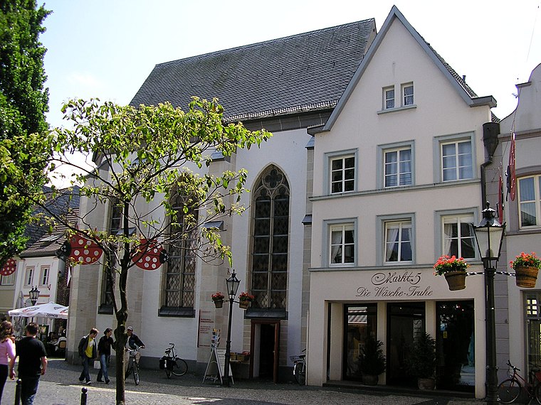
Photo: Chris06, Public domain.
Heilig-Geist-Kapelle is a church, which is situated 120 metres north of Adolf-Kolping-Halle.
Burg Kempen
Castle

Photo: Alexostrov, CC BY-SA 3.0.
Burg Kempen is a castle, which is situated 490 metres north of Adolf-Kolping-Halle.
Kuhtor (Kempen)
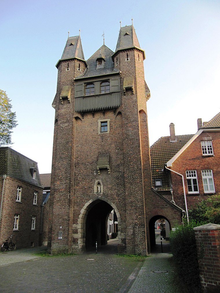
Photo: Palickap, CC BY-SA 4.0.
Kuhtor (Kempen) is situated 410 metres north of Adolf-Kolping-Halle.
Places in the Area
Nearby places include Kempen and Mülhausen.
Kempen
Town

Photo: O.Falkner, CC BY-SA 3.0.
Kempen is a town in the district of Viersen, in North Rhine-Westphalia, Germany. It is situated approximately 30 kilometres northwest of Düsseldorf, and 20 kilometres east of Venlo.
Mülhausen
Village

Photo: Bolandt, CC BY-SA 3.0.
Mülhausen is a village, which is situated 4½ km southwest of Adolf-Kolping-Halle.
Oedt
Village

Photo: O.Falkner, CC BY-SA 3.0.
Oedt is a village, which is situated 5 km southwest of Adolf-Kolping-Halle.
Adolf-Kolping-Halle
- Type: Commercial building
- Categories: building and office
- Location: Kempen, Viersen, Düsseldorf, North Rhine-Westphalia, Germany, Central Europe, Europe
- View on OpenStreetMap
Latitude
51.36262° or 51° 21′ 45″ northLongitude
6.41905° or 6° 25′ 9″ eastOpen location code
9F389C79+2JOpenStreetMap ID
way 173335637OpenStreetMap feature
building=commercial
This page is based on OpenStreetMap, Wikidata, and Wikimedia Commons.
We’d love your help improving our open data sources. Thank you for contributing.
Satellite Map
Discover Adolf-Kolping-Halle from above in high-definition satellite imagery.
Notable Places Nearby
Highlights include Muttergotteshäuschen and Peterturm (Kaputt).
Nearby Places
Explore places such as Hotel/Restaurant Kolpinghaus and Kriegerehrenmal.
North Rhine-Westphalia: Must-Visit Destinations
Delve into Cologne, Düsseldorf, Bonn, and Dortmund.
Curious Places to Discover
Uncover intriguing places from every corner of the globe.
About Mapcarta. Data © OpenStreetMap contributors and available under the Open Database License". Text is available under the CC BY-SA 4.0 license, except for photos, directions, and the map. Photo: Daniel Schwen, CC BY-SA 2.5.