Waldwirtschaft
The Waldwirtschaft is a tavern with a large beer garden just south of Munich. It is situated in the municipality of Pullach in the ward of Großhesselohe on the high bank of the Isar.| Tap on a place to explore it |
- Type: Beer garden
- Description: building in Pullach, Bavaria, Germany
- Also known as: “Waldwirtschaft Großhesselohe” and “WaWi”
- Wheelchair access: yes
Places of Interest Nearby
Highlights include Data center and Grosshesselohe Isartal station.
Data center
Building

Photo: Wikimedia, CC BY-SA 3.0.
A data center is a facility used to house computer systems and associated components, such as telecommunications and storage systems. Since IT operations are crucial for business continuity, a data center generally includes redundant or backup components and infrastructure for power supply, data communication connections, environmental controls, and various security devices. Data center is situated 550 metres southwest of Waldwirtschaft.
Grosshesselohe Isartal station
Railway station

Photo: AHert, CC BY-SA 3.0.
Großhesselohe Isartalbahn station is a station on the Isar Valley Railway from Munich to Bichl in the German state of Bavaria. Since 1981, it has been a station of the Munich S-Bahn. Grosshesselohe Isartal station is situated 1 km northwest of Waldwirtschaft.
Großhesseloher Brücke
Bridge

Photo: Richard Bartz, CC BY-SA 2.5.
Großhesseloher Brücke is a bridge, which is situated 1 km north of Waldwirtschaft.
Places in the Area
Nearby places include Prinz-Ludwigs-Höhe and Pullach.

Pullach
Village

Photo: Wikimedia, CC BY-SA 3.0.
Pullach, officially Pullach i. Isartal, is a municipality in the district of Munich in Bavaria in Germany. It lies on the Isar Valley Railway and is served by the S 7 line of the Munich S-Bahn, at the Großhesselohe Isartalbahnhof, Pullach and Höllriegelskreuth railway stations.
Grünwald
Town
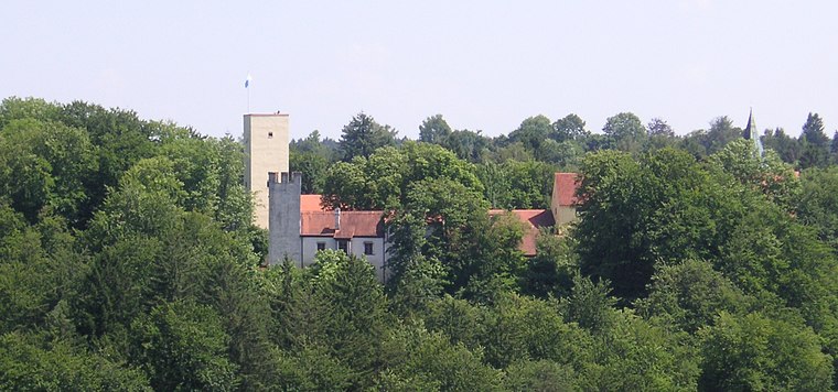
Photo: Wikimedia, CC BY-SA 3.0.
Grünwald is a municipality in the district of Munich, in the state of Bavaria, Germany. It is located on the right bank of the Isar, 12 km southwest of Munich.
Waldwirtschaft
- Categories: brewery and inn
- Location: Grünwald, Munich, Upper Bavaria, Bavaria, Germany, Central Europe, Europe
- View on OpenStreetMap
Latitude
48.06658° or 48° 3′ 60″ northLongitude
11.53955° or 11° 32′ 22″ eastOpen location code
8FWH3G8Q+JROpenStreetMap ID
way 176034058OpenStreetMap feature
amenity=biergartenOpenStreetMap attribute
wheelchair=yesWikidata ID
Q2542026
This page is based on OpenStreetMap, Wikidata, Wikimedia Commons, and Wikipedia.
We’d love your help improving our open data sources. Thank you for contributing.
Satellite Map
Discover Waldwirtschaft from above in high-definition satellite imagery.
In Other Languages
From French to Japanese—“Waldwirtschaft” goes by many names.
- French: “Waldwirtschaft Großhesselohe”
- German: “Waldwirtschaft Großhesselohe”
- Japanese: “ヴァルトヴィルト (プラッハ)”
- Japanese: “ヴァルトヴィルトシャフト (プラッハ)”
Notable Places Nearby
Highlights include Heilige Dreifaltigkeit and Heilig Blut.
Nearby Places
Explore places such as Steckerlfisch and Waldwirtschaft.
Upper Bavaria: Must-Visit Destinations
Delve into Munich, Ingolstadt, Rosenheim, and Dachau.
Curious Beer Gardens to Discover
Uncover intriguing beer gardens from every corner of the globe.
About Mapcarta. Data © OpenStreetMap contributors and available under the Open Database License". Text is available under the CC BY-SA 4.0 license, except for photos, directions, and the map. Description text is based on the Wikipedia page “Waldwirtschaft”. Photo: H-stt, CC BY 1.0.