Nad Rajskou zahradou
Nad Rajskou zahradou is a residential area in Prague 14, Prague, Central Bohemia. Nad Rajskou zahradou is situated nearby to the quarter Na Hutích, as well as near the school Střední odborné učiliště gastronomie a podnikání Praha, Hloubětín.| Tap on a place to explore it |
Places of Interest Nearby
Highlights include Prague 14 and Rajská zahrada.
Prague 14
Town hall
 Prague 14 is a municipal district in Prague since 1994. It is located in the north-eastern part of the city, east of district Prague 9. It consists of four cadastres: Hloubětín, Kyje, Černý Most and Hostavice. Prague 14 is situated 1 km southeast of Nad Rajskou zahradou.
Rajská zahrada
Metro station

Photo: Miaow Miaow, Public domain.
Rajská zahrada is a Prague Metro station on Line B. It was opened on 8 November 1998 as part of the extension of Line B from Českomoravská to Černý Most. Rajská zahrada is situated 780 metres southeast of Nad Rajskou zahradou.
Střední odborné učiliště gastronomie a podnikání Praha, Hloubětín
School

Photo: ŠJů, CC BY-SA 3.0.
Střední odborné učiliště gastronomie a podnikání Praha, Hloubětín is a school, which is situated 370 metres south of Nad Rajskou zahradou.
Places in the Area
Nearby places include Na Hutích and Hloubětín.

Hloubětín
Suburb

Photo: Ulathaar, Public domain.
Hloubětín is a district of Prague located 9 kilometres from the centre, belonging mostly to Prague 9, with parts of it also belonging to Prague 14 and Prague 10.
Černý Most
Suburb
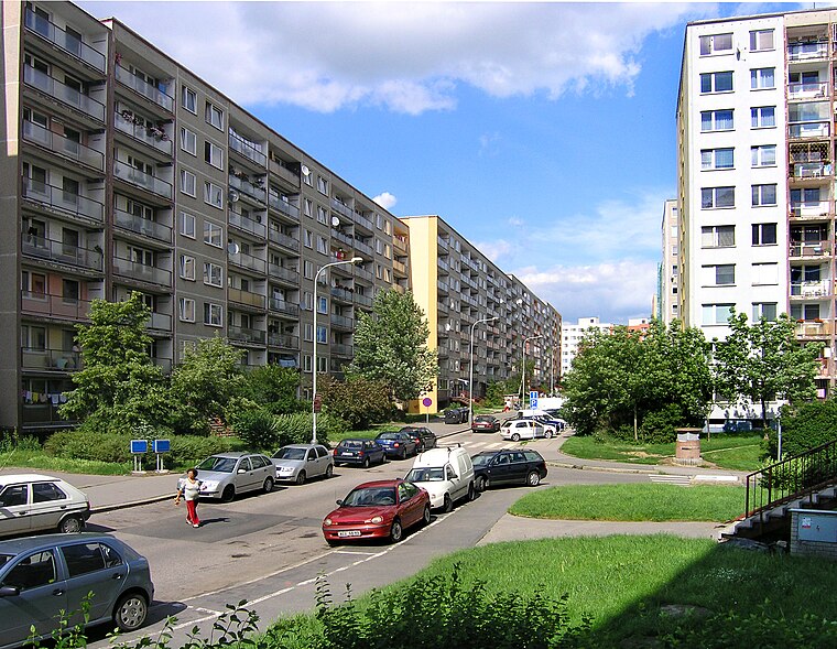
Photo: Packa, CC BY-SA 3.0.
Černý Most is a large panel housing estate in the north-east of Prague, belonging to Prague 14. At the end of 2013 it was home to 22,355 residents. As well as residential complexes, the area has a large retail park with the same name.
Nad Rajskou zahradou
- Type: Residential area
- Location: Prague 14, Prague, Central Bohemia, Czech Republic, Central Europe, Europe
- View on OpenStreetMap
Latitude
50.11281° or 50° 6′ 46″ northLongitude
14.55469° or 14° 33′ 17″ eastOpen location code
9F2P4H73+4VOpenStreetMap ID
way 17657545OpenStreetMap feature
landuse=residential
This page is based on OpenStreetMap, Wikidata, and Wikimedia Commons.
We’d love your help improving our open data sources. Thank you for contributing.
Satellite Map
Discover Nad Rajskou zahradou from above in high-definition satellite imagery.
Notable Places Nearby
Highlights include Squash centrum and Dětské hřiště Splavná.
Nearby Places
Explore places such as Hutě and Na Hrádku.
Prague: Must-Visit Destinations
Delve into Václav Havel Airport Prague, Old Town and Josefov, East bank of Vltava, and New Town and Vysehrad.
Curious Residential Areas to Discover
Uncover intriguing residential areas from every corner of the globe.
About Mapcarta. Data © OpenStreetMap contributors and available under the Open Database License". Text is available under the CC BY-SA 4.0 license, except for photos, directions, and the map. Photo: Diliff, CC BY-SA 3.0.