Gartenbau Pomper
Gartenbau Pomper is a greenhouse in Güssing, Burgenland. Gartenbau Pomper is situated nearby to the military installation Montecuccoli-Kaserne, as well as near the cemetery Ehem. Jüdischer Friedhof (Güssing).| Tap on a place to explore it |
Places of Interest Nearby
Highlights include Güssing Castle and Ehem. Jüdischer Friedhof (Güssing).
Güssing Castle
Castle

Photo: Bwag, CC BY-SA 3.0 at.
Güssing Castle is a castle in southern Burgenland, Austria. On June 30, 1524, the castle was acquired by the Batthyány family, which retains ownership through a historical foundation that provides for the care and maintenance of the castle. Güssing Castle is situated 1½ km southwest of Gartenbau Pomper.
Ehem. Jüdischer Friedhof (Güssing)
Cemetery
 Ehem. Jüdischer Friedhof (Güssing) is a cemetery, which is situated 700 metres south of Gartenbau Pomper.
Schloss Draskovich
Castle

Photo: Bwag, CC BY-SA 3.0 at.
Schloss Draskovich is a castle, which is situated 1½ km south of Gartenbau Pomper.
Places in the Area
Nearby places include Sankt Nikolaus and Gerersdorf bei Güssing.
Sankt Nikolaus
Village

Photo: Niki.L, CC BY-SA 4.0.
Sankt Nikolaus is a village, which is situated 2½ km south of Gartenbau Pomper.
Gerersdorf bei Güssing
Village

Photo: Bwag, CC BY-SA 4.0.
Gerersdorf bei Güssing is a village, which is situated 6 km west of Gartenbau Pomper.
Kroatisch Ehrensdorf
Hamlet
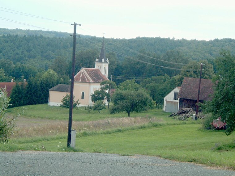
Photo: Darinko, Public domain.
Kroatisch Ehrensdorf is a hamlet, which is situated 7 km northeast of Gartenbau Pomper.
Gartenbau Pomper
- Type: Greenhouse
- Category: building
- Location: Güssing, Güssing District, Burgenland, Austria, Central Europe, Europe
- View on OpenStreetMap
Latitude
47.07008° or 47° 4′ 12″ northLongitude
16.33322° or 16° 19′ 60″ eastOpen location code
8FVR38CM+27OpenStreetMap ID
way 178278750OpenStreetMap feature
building=greenhouseOpenStreetMap feature
landuse=greenhouse_horticulture
This page is based on OpenStreetMap, Wikidata, and Wikimedia Commons.
We’d love your help improving our open data sources. Thank you for contributing.
Satellite Map
Discover Gartenbau Pomper from above in high-definition satellite imagery.
Notable Places Nearby
Highlights include Montecuccoli-Kaserne and Auswanderermuseum/Josef Reichl Museum.
Nearby Places
Explore places such as Gartenbau Pomper and Gärtnerei Pomper.
Burgenland: Must-Visit Destinations
Delve into Eisenstadt, Neusiedl am See, and Rust.
Curious Greenhouses to Discover
Uncover intriguing greenhouses from every corner of the globe.
About Mapcarta. Data © OpenStreetMap contributors and available under the Open Database License". Text is available under the CC BY-SA 4.0 license, except for photos, directions, and the map. Photo: Ueb-at, CC BY-SA 3.0.