DSV Roads GmbH
DSV Roads GmbH is a warehouse in Lahr/Schwarzwald, Ortenaukreis, Baden-Württemberg. DSV Roads GmbH is situated nearby to the fire station Airport Lahr Feuerwehr, as well as near the aircraft CF104 Starfighter.| Tap on a place to explore it |
Places of Interest Nearby
Highlights include Feuerwache West and St. Martin.
Feuerwache West
Fire station

Photo: Armin Pangerl, CC0.
Feuerwache West is a fire station, which is situated 1 km south of DSV Roads GmbH.
St. Martin
Church

Photo: Rauenstein, CC BY-SA 3.0.
St. Martin is a church, which is situated 1½ km northeast of DSV Roads GmbH.
Evangelische Kirche Hugsweier
Church
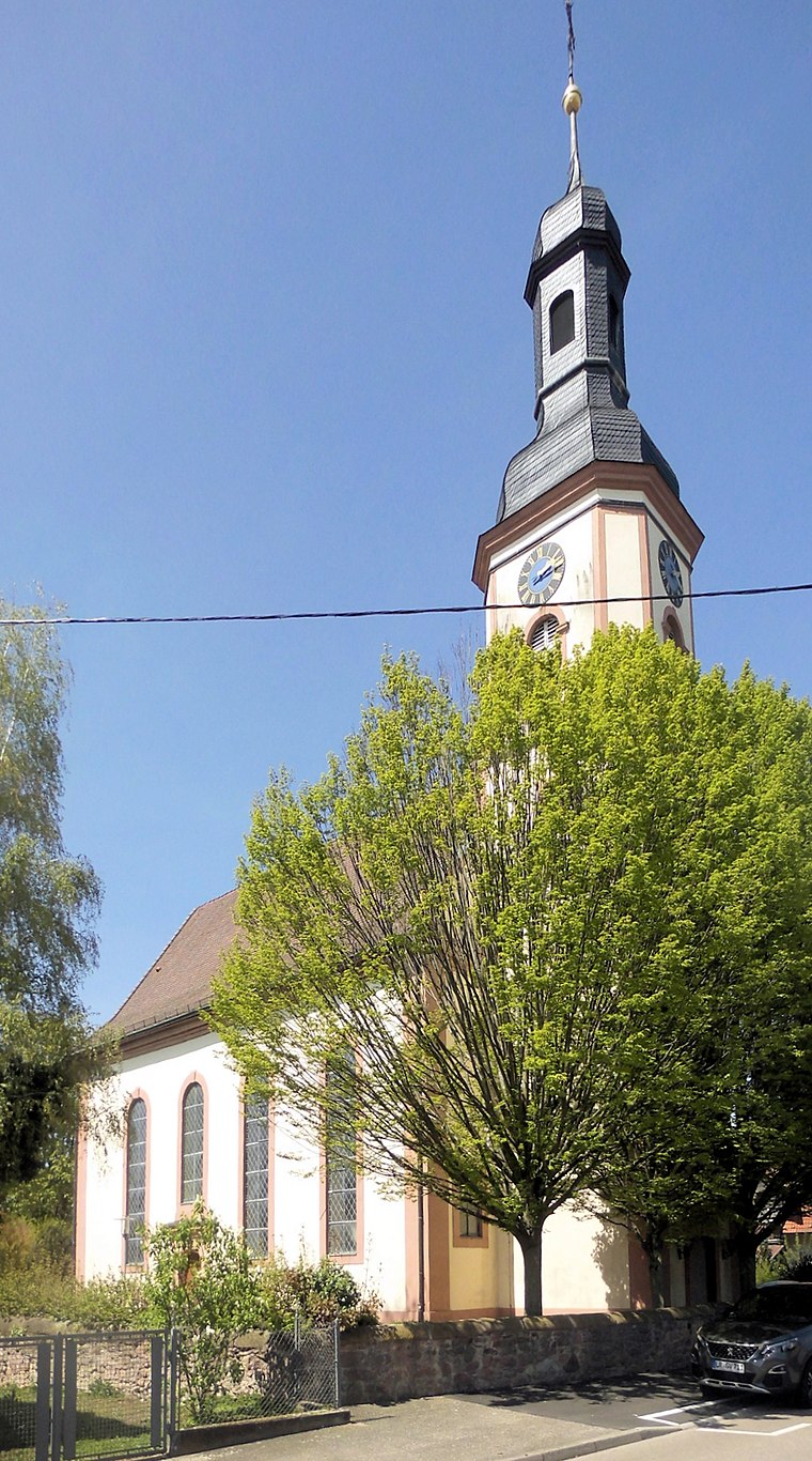
Photo: Rauenstein, CC BY-SA 3.0.
Evangelische Kirche Hugsweier is a church, which is situated 1½ km east of DSV Roads GmbH.
Places in the Area
Nearby places include Allmannsweier and Lahr.

Lahr
Town
 Lahr; Low Alemannic: Lohr) is a city in western Baden-Württemberg, Germany, approximately 50 km north of Freiburg im Breisgau, 40 km southeast of Strasbourg, and 95 km southwest of Karlsruhe. Lahr is situated 5 km southeast of DSV Roads GmbH.
Friesenheim
Village

Photo: Wikimedia, CC BY-SA 3.0.
Friesenheim is a municipality in the Ortenau district of Baden-Württemberg, Germany. Friesenheim is situated 5 km east of DSV Roads GmbH.
DSV Roads GmbH
- Type: Warehouse
- Category: building
- Location: Lahr/Schwarzwald, Ortenaukreis, Freiburg Region, Baden-Württemberg, Germany, Central Europe, Europe
- View on OpenStreetMap
Latitude
48.36022° or 48° 21′ 37″ northLongitude
7.81391° or 7° 48′ 50″ eastOpen location code
8FW99R67+3HOpenStreetMap ID
way 179133110OpenStreetMap feature
building=warehouse
This page is based on OpenStreetMap, Wikidata, and Wikimedia Commons.
We’d love your help improving our open data sources. Thank you for contributing.
Satellite Map
Discover DSV Roads GmbH from above in high-definition satellite imagery.
Notable Places Nearby
Highlights include Airport Lahr Feuerwehr and CF104 Starfighter.
Nearby Places
Explore places such as DSV Solutions GmbH and LahrLogistics.
Baden-Württemberg: Must-Visit Destinations
Delve into Stuttgart, Heidelberg, Karlsruhe, and Mannheim.
Curious Warehouses to Discover
Uncover intriguing warehouses from every corner of the globe.
About Mapcarta. Data © OpenStreetMap contributors and available under the Open Database License". Text is available under the CC BY-SA 4.0 license, except for photos, directions, and the map. Photo: Traveler100, CC BY-SA 3.0.