Épi de la Grande Rivière
Épi de la Grande Rivière is a pier in Brest, Finistère, Brittany. Épi de la Grande Rivière is situated nearby to the pier Ponton FREMM, as well as near the fire station Compagnie des Marins-pompiers de Brest.| Tap on a place to explore it |
Places of Interest Nearby
Highlights include Tour Tanguy and Église Notre-Dame de Kerbonne.
Tour Tanguy
Museum

Photo: Wikimedia, CC BY-SA 2.5.
The Tour Tanguy, Bastille de Quilbignon or Tour de la Motte Tanguy is a medieval tower on a rocky motte beside the Penfeld river in Brest, France. Probably built during the Breton War of Succession, it faces the château de Brest and is now accessed by a road off the square Pierre Péron, at one end of the pont de Recouvrance. Tour Tanguy is situated 1½ km northeast of Épi de la Grande Rivière.
Église Notre-Dame de Kerbonne
Church

Photo: S. DÉNIEL, CC BY-SA 4.0.
Église Notre-Dame de Kerbonne is a church, which is situated 1 km north of Épi de la Grande Rivière.
Submarine base of Brest
Bunker
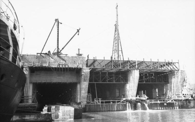
Photo: Wikimedia, CC BY-SA 3.0 de.
Submarine base of Brest is a bunker, which is situated 1 km southwest of Épi de la Grande Rivière.
Places in the Area
Nearby places include Porte Caffarelli and Jean Bart Gate.


Recouvrance
Suburb

Photo: S. DÉNIEL, CC BY-SA 4.0.
Recouvrance is the section of the city of Brest, France, on the right bank of the River Penfeld. The popular and historically-Breton quarter is in contrast to the largely-Francophone quarter of Brest-même or Brest-proper, on the left bank.
Épi de la Grande Rivière
- Type: Pier
- Also known as: “de Laninon”
- Category: transportation
- Location: Brest, Arrondissement de Brest, Finistère, Brittany, France, Europe
- View on OpenStreetMap
Latitude
48.37181° or 48° 22′ 19″ northLongitude
-4.51205° or 4° 30′ 43″ westOpen location code
8CWQ9FCQ+P5OpenStreetMap ID
way 181454107OpenStreetMap feature
man_made=pier
This page is based on OpenStreetMap, Wikidata, and Wikimedia Commons.
We’d love your help improving our open data sources. Thank you for contributing.
Satellite Map
Discover Épi de la Grande Rivière from above in high-definition satellite imagery.
Notable Places Nearby
Highlights include Ponton FREMM and Compagnie des Marins-pompiers de Brest.
Nearby Places
Explore places such as S.L.M. and Gymnase.
Brittany: Must-Visit Destinations
Delve into Rennes, Finistère, Ille-et-Vilaine, and Morbihan.
Curious Piers to Discover
Uncover intriguing piers from every corner of the globe.
About Mapcarta. Data © OpenStreetMap contributors and available under the Open Database License". Text is available under the CC BY-SA 4.0 license, except for photos, directions, and the map. Photo: Inkey, CC BY-SA 2.5.