Neuapostolische Kirche Bielefeld-Ummeln
Neuapostolische Kirche Bielefeld-Ummeln is a church in Bielefeld, Detmold, North Rhine-Westphalia which is located on Versmolder Straße. Neuapostolische Kirche Bielefeld-Ummeln is situated nearby to Bürgerpark Ummeln, as well as near Clubhaus am Trüggelbach.| Tap on a place to explore it |
- Type: Church
- Denomination: New Apostolic
- Address: Versmolder Straße 1, Bielefeld, 33649
Places of Interest Nearby
Highlights include Ev. Kirche Ummeln and Feuchtwiesen Röhrmann.
Ev. Kirche Ummeln
Church

Photo: Hagar66, CC BY-SA 3.0.
Ev. Kirche Ummeln is a church, which is situated 1¼ km north of Neuapostolische Kirche Bielefeld-Ummeln.
Feuchtwiesen Röhrmann
Nature reserve

Photo: Bielibob, CC BY-SA 3.0.
Feuchtwiesen Röhrmann is a nature reserve.
Reiher- und Röhrbach
Nature reserve
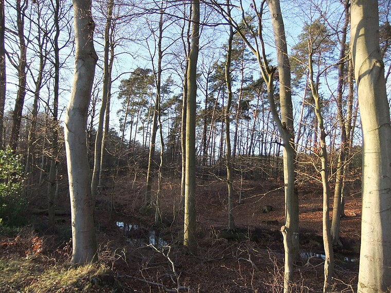
Photo: Bielibob, CC BY-SA 3.0.
Reiher- und Röhrbach is a nature reserve.
Places in the Area
Nearby places include Isselhorst and Hollen.
Isselhorst
Suburb

Photo: Wikimedia, CC BY-SA 3.0.
Isselhorst is a suburb, which is situated 4 km southwest of Neuapostolische Kirche Bielefeld-Ummeln.
Hollen
Suburb

Photo: Erdkröte, Public domain.
Hollen is a suburb, which is situated 5 km west of Neuapostolische Kirche Bielefeld-Ummeln.
Nordhorn
Suburb

Photo: Wikimedia, CC BY-SA 3.0.
Nordhorn is a suburb, which is situated 6 km southwest of Neuapostolische Kirche Bielefeld-Ummeln.
Neuapostolische Kirche Bielefeld-Ummeln
- Categories: building, place of worship, and religion
- Location: Bielefeld, Detmold, Teutoburg Forest, North Rhine-Westphalia, Germany, Central Europe, Europe
- View on OpenStreetMap
Latitude
51.96191° or 51° 57′ 43″ northLongitude
8.46374° or 8° 27′ 50″ eastOpen location code
9F3CXF67+QFOpenStreetMap ID
way 181483017OpenStreetMap feature
amenity=place_of_worshipOpenStreetMap feature
building=churchOpenStreetMap attribute
denomination=new_apostolic
This page is based on OpenStreetMap, Wikidata, and Wikimedia Commons.
We’d love your help improving our open data sources. Thank you for contributing.
Satellite Map
Discover Neuapostolische Kirche Bielefeld-Ummeln from above in high-definition satellite imagery.
Notable Places Nearby
Highlights include Bürgerpark Ummeln and Clubhaus am Trüggelbach.
Nearby Places
Explore places such as Bohlenweg and Maoro KFZ-Technic.
Teutoburg Forest: Must-Visit Destinations
Delve into Paderborn, Detmold, Gütersloh, and Minden.
Curious Churches to Discover
Uncover intriguing churches from every corner of the globe.
About Mapcarta. Data © OpenStreetMap contributors and available under the Open Database License". Text is available under the CC BY-SA 4.0 license, except for photos, directions, and the map. Photo: Wikimedia, CC0.