Dr. Mathies Blühdorn
Dr. Mathies Blühdorn is a doctor’s office in Lehrte, Hanover Region, Lower Saxony which is located on Sternstraße. Dr. Mathies Blühdorn is situated nearby to the fire station Feuerwehrgerätehaus Hämelerwald, as well as near the church Martin-Luther-Haus.| Tap on a place to explore it |
Places of Interest Nearby
Highlights include Feuerwehrgerätehaus Hämelerwald and Hl. Dreifaltigkeit.
Feuerwehrgerätehaus Hämelerwald
Fire station

Photo: Reise Reise, CC BY-SA 3.0.
Feuerwehrgerätehaus Hämelerwald is a fire station, which is situated 220 metres northeast of Dr. Mathies Blühdorn.
Hl. Dreifaltigkeit
Church
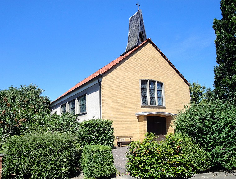
Photo: Reise Reise, CC BY-SA 4.0.
Hl. Dreifaltigkeit is a church, which is situated 560 metres northeast of Dr. Mathies Blühdorn.
St. Martin
Church

Photo: Losch, CC BY-SA 3.0.
St. Martin is a church, which is situated 2½ km northeast of Dr. Mathies Blühdorn.
Places in the Area
Nearby places include Gut Adolphshof and Arpke.

Arpke
Village

Photo: Wikimedia, CC BY-SA 3.0.
Arpke is a village in the town of Lehrte in the district of Hanover, in Lower Saxony, Germany. It is situated approximately 30 km east of Hanover. Since 1893 Arpke has a railway station on the Berlin–Lehrte railway and is connected once per hour to Hanover and Wolfsburg. Arpke is situated 4 km north of Dr. Mathies Blühdorn.
Röhrse
Village

Photo: Sebman81, CC BY-SA 3.0.
Röhrse is a village, which is situated 4 km east of Dr. Mathies Blühdorn.
Dr. Mathies Blühdorn
- Type: Doctor’s office
- Address: Sternstraße 5a, Lehrte, 31275
- Categories: health care and building
- Location: Lehrte, Hanover Region, Lower Saxony, Germany, Central Europe, Europe
- View on OpenStreetMap
Latitude
52.35286° or 52° 21′ 10″ northLongitude
10.11218° or 10° 6′ 44″ eastOpen location code
9F4G9436+4VOpenStreetMap ID
way 183899354OpenStreetMap feature
amenity=doctorsOpenStreetMap feature
building=yesOpenStreetMap feature
healthcare=doctor
This page is based on OpenStreetMap, Wikidata, and Wikimedia Commons.
We’d love your help improving our open data sources. Thank you for contributing.
Satellite Map
Discover Dr. Mathies Blühdorn from above in high-definition satellite imagery.
Notable Places Nearby
Highlights include Hämelerwald and Martin-Luther-Haus.
Nearby Places
Explore places such as NETT’Y‘ Frisiert and Das Blumenmädchen.
Hanover Region: Must-Visit Destinations
Delve into Hanover, Hildesheim, Nienburg, and Verden an der Aller.
Curious Doctor’s Offices to Discover
Uncover intriguing doctor’s offices from every corner of the globe.
About Mapcarta. Data © OpenStreetMap contributors and available under the Open Database License". Text is available under the CC BY-SA 4.0 license, except for photos, directions, and the map. Photo: Ukko.de, CC BY-SA 3.0.