Bachgadeweiher
Bachgadeweiher is in Canton of Zurich, Switzerland. Bachgadeweiher is situated nearby to the police station Polizeiposten Verkehrsstützpunkt Neubüel, as well as near the government office Baudirektion Kanton Zürich, Tiefbauamt.| Tap on a place to explore it |
Places of Interest Nearby
Highlights include Aabach-Weiher and Au ZH railway station.

Au ZH railway station
Railway station

Photo: Roland zh, CC BY-SA 3.0.
Au ZH railway station is a railway station in Switzerland, situated in the village of Au in the municipality of Wädenswil in the canton of Zurich, near the Au Peninsula. Au ZH railway station is situated 2½ km north of Bachgadeweiher.
Zurich International School
School
Zurich International School is an independent non-profit day school in Switzerland for students aged 3 to 18 in the greater Zurich area. Over 1,300 students from more than 50 countries are enroled in the school. Zurich International School is situated 1½ km north of Bachgadeweiher.
Places in the Area
Nearby places include Spitzenmatte and Hirzel.

Hirzel
Village
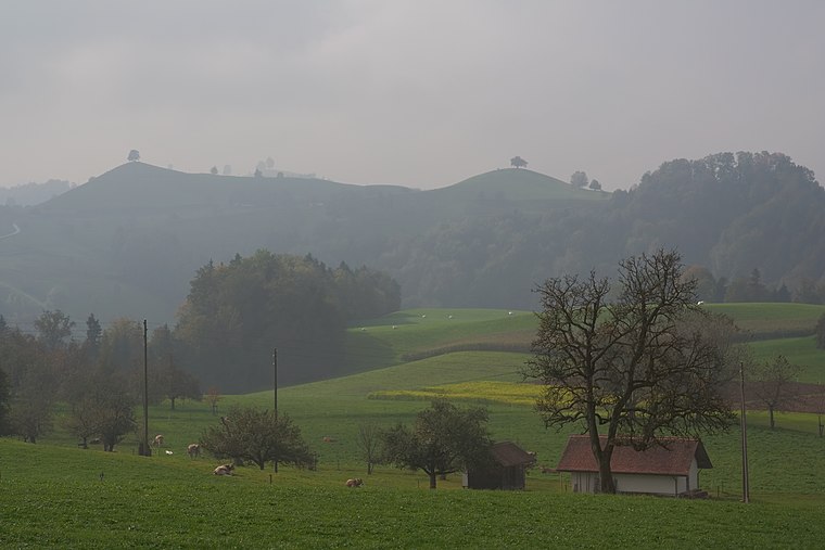
Photo: Ikiwaner, CC BY-SA 3.0.
Hirzel is a former municipality in the district of Horgen in the canton of Zürich in Switzerland. On 1 January 2018 the former municipality of Hirzel merged into the municipality of Horgen.
Au
Village

Photo: Roland zh, CC BY-SA 3.0.
Au is a village in the municipality Wädenswil in the district of Horgen in the canton of Zürich in Switzerland. First mentioned in the year 1130 as "Naglikon" and in 1316 as "Owe", Au belongs politically to the urban area of the south-eastern city of Wädenswil on Lake Zürich. Au is situated 2½ km north of Bachgadeweiher.
Bachgadeweiher
- Type: Body of water
- Location: Canton of Zurich, Switzerland, Central Europe, Europe
- View on OpenStreetMap
Latitude
47.22313° or 47° 13′ 23″ northLongitude
8.63447° or 8° 38′ 4″ eastOpen location code
8FVC6JFM+7QOpenStreetMap ID
way 184920961OpenStreetMap feature
natural=water
This page is based on OpenStreetMap, Wikidata, and Wikimedia Commons.
We’d love your help improving our open data sources. Thank you for contributing.
Satellite Map
Discover Bachgadeweiher from above in high-definition satellite imagery.
Notable Places Nearby
Highlights include Polizeiposten Verkehrsstützpunkt Neubüel and Baudirektion Kanton Zürich, Tiefbauamt.
Nearby Places
Explore places such as Wädenswil, Chotten and Chotten.
Switzerland: Must-Visit Destinations
Delve into Zurich, Berne, Geneva, and Basel.
Curious Places to Discover
Uncover intriguing places from every corner of the globe.
About Mapcarta. Data © OpenStreetMap contributors and available under the Open Database License". Text is available under the CC BY-SA 4.0 license, except for photos, directions, and the map. Photo: Wikimedia, CC0.