M1 Langenhagen
M1 Langenhagen is a gas station in Langenhagen, Hanover Region, Lower Saxony which is located on Flughafenstraße. M1 Langenhagen is situated nearby to the post office DHL Express Service Point, as well as near the sports venue Sporthalle.| Tap on a place to explore it |
Places of Interest Nearby
Highlights include Hanover Airport station and Langenhagen Pferdemarkt station.
Hanover Airport station
Railway station

Photo: Geogast, CC BY-SA 4.0.
Hanover Airport is a railway station located under the terminal of Hanover Airport, Germany. The station is located on a branch of the Heath Railway. The train services are operated by Deutsche Bahn as part of the Hanover S-Bahn. Hanover Airport station is situated 1¼ km west of M1 Langenhagen.
Langenhagen Pferdemarkt station
Railway station
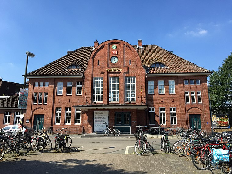
Photo: Nortix08, CC BY-SA 4.0.
Langenhagen Pferdemarkt station is a station in the town of Langenhagen, which lies north of Hanover, the capital of the German state of Lower Saxony. At present it is served by lines S4 and S5 of the Hanover S-Bahn. Langenhagen Pferdemarkt station is situated 1½ km southeast of M1 Langenhagen.
Up and away
Work of art

Photo: Euhus, CC BY-SA 3.0.
Up and away is a work of art, which is situated 1 km west of M1 Langenhagen.
Places in the Area
Nearby places include Krähenwinkel and Kaltenweide.

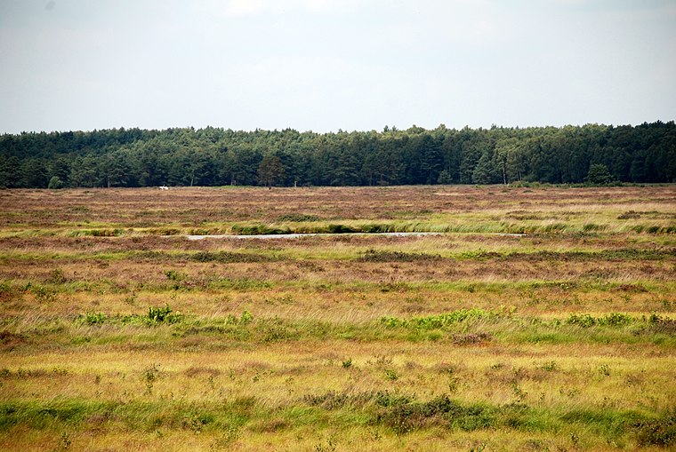
Langenhagen
Town

Photo: Fischchen, CC BY-SA 3.0.
Langenhagen is a town in the Hanover district of Lower Saxony, Germany.
M1 Langenhagen
- Type: Gas station
- Address: Flughafenstraße 20, Langenhagen, 30855
- Category: transportation
- Location: Langenhagen, Hanover Region, Lower Saxony, Germany, Central Europe, Europe
- View on OpenStreetMap
Latitude
52.45843° or 52° 27′ 30″ northLongitude
9.71674° or 9° 43′ 0″ eastBrand
M1Open location code
9F4FFP58+9MOpenStreetMap ID
way 189174019OpenStreetMap feature
amenity=fuel
This page is based on OpenStreetMap, Wikidata, and Wikimedia Commons.
We’d love your help improving our open data sources. Thank you for contributing.
Satellite Map
Discover M1 Langenhagen from above in high-definition satellite imagery.
Notable Places Nearby
Highlights include DHL Express Service Point and Sporthalle.
Nearby Places
Explore places such as Attempto Racing and Super Car Wash.
Hanover Region: Must-Visit Destinations
Delve into Hanover, Hildesheim, Nienburg, and Verden an der Aller.
Curious Gas Stations to Discover
Uncover intriguing gas stations from every corner of the globe.
About Mapcarta. Data © OpenStreetMap contributors and available under the Open Database License". Text is available under the CC BY-SA 4.0 license, except for photos, directions, and the map. Photo: Ukko.de, CC BY-SA 3.0.