Kocka büfé
Kocka büfé is a kiosk in Pest County, Central Hungary which is located on Warga László út. Kocka büfé is situated nearby to the stadium Sportcsarnok, as well as near the sports venue ELTE Bogdánfy utcai csarnok.| Tap on a place to explore it |
- Opening hours: Monday—Friday 10:00 AM—8:30 PM
- Email: salamonzs@gmail.com
- Type: Kiosk
- Address: Warga László út 1, Budapest, 1117
- Roof shape: flat
- Wheelchair access: yes
Places of Interest Nearby
Highlights include Petőfi Bridge and Tüskecsarnok.
Petőfi Bridge
Bridge

Photo: OsvátA, CC BY-SA 3.0.
Petőfi híd or Petőfi Bridge is a bridge in Budapest, connecting Pest and Buda across the Danube. It is the second southernmost public bridge in Budapest. Petőfi Bridge is situated 670 metres northeast of Kocka büfé.
Tüskecsarnok
Sports venue
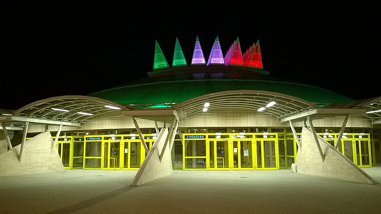
Photo: Christo, CC BY-SA 4.0.
Tüskecsarnok is a multi-purpose indoor arena in Budapest, Hungary. It is primarily used for ice sports and is the home arena of Hungarian top division ice hockey club MAC Budapest. It was opened in 2014. Tüskecsarnok is situated 260 metres south of Kocka büfé.
National Theatre
Theater building

Photo: Yelkrokoyade, CC BY-SA 3.0.
The National Theatre, located in Budapest originally opened in 1837. Since then, it has occupied several locations, including the original building at Kerepesi Street, the People's Theatre at Blaha Lujza Square, as well as Hevesi Sándor Square, its longest temporary location. National Theatre is situated 1 km east of Kocka büfé.
Places in the Area
Nearby places include Infopark and Szentimreváros.
Infopark
Neighborhood

Photo: Jeti wiki, CC BY-SA 4.0.
Infopark is a collective name given to a high tech, mainly research and development focused business district in the Budapest, focused on software, electronics, and telecommunication, finance, business consulting located in Budapest's District XI on the bank of Danube.

Budapest’s Palace District
Suburb
Budapest's Palotanegyed forms an inner part of Pest, the eastern half of Budapest. Known until the communist period as the ‘Magnates’ Quarter’, it consists of the most westerly part of the city's Eighth District, or Józsefváros, which was named on 7 November 1777 after Joseph II, Holy Roman Emperor and Archduke of Austria, who reigned 1765-1790.
Kocka büfé
- Category: building
- Location: Pest County, Central Hungary, Hungary, Central Europe, Europe
- View on OpenStreetMap
Latitude
47.47381° or 47° 28′ 26″ northLongitude
19.05877° or 19° 3′ 32″ eastLevels
1Open location code
8FVXF3F5+GGOpenStreetMap ID
way 189299053OpenStreetMap feature
building=kioskOpenStreetMap attribute
roof-shape=flatOpenStreetMap attribute
wheelchair=yes
This page is based on OpenStreetMap, Wikidata, and Wikimedia Commons.
We’d love your help improving our open data sources. Thank you for contributing.
Satellite Map
Discover Kocka büfé from above in high-definition satellite imagery.
Notable Places Nearby
Highlights include Sportcsarnok and ELTE Bogdánfy utcai csarnok.
Nearby Places
Explore places such as ‘Y’ Hasáb and BME Q Büfé.
Pest County: Must-Visit Destinations
Delve into Érd, Cegléd, Gödöllő, and Budaörs.
Curious Kiosks to Discover
Uncover intriguing kiosks from every corner of the globe.
About Mapcarta. Data © OpenStreetMap contributors and available under the Open Database License". Text is available under the CC BY-SA 4.0 license, except for photos, directions, and the map. Photo: ucsendre, CC BY-SA 3.0.