James F. Dicke Family Transportation Center
James F. Dicke Family Transportation Center is a building in Montgomery, Ohio. James F. Dicke Family Transportation Center is situated nearby to Feedwire Road Covered Bridge, as well as near John W. Berry Sr. Wright Brothers National Museum.| Tap on a place to explore it |
Places of Interest Nearby
Highlights include Carillon Historical Park and Feedwire Road Covered Bridge.
Carillon Historical Park
Park
 Carillon Historical Park is a 65-acre park and museum in Dayton, Ohio, which contains historic buildings and exhibits concerning the history of technology and the history of Dayton and its residents from 1796 to the present.
Feedwire Road Covered Bridge

Photo: Nyttend, Public domain.
Feedwire Road Covered Bridge is situated 380 feet southeast of James F. Dicke Family Transportation Center.
Deeds Carillon
Monument

Photo: Photohio, Public domain.
Deeds Carillon is a monument, which is situated 1,800 feet northeast of James F. Dicke Family Transportation Center.
Places in the Area
Nearby places include Oakwood and Moraine.
Oakwood
Village
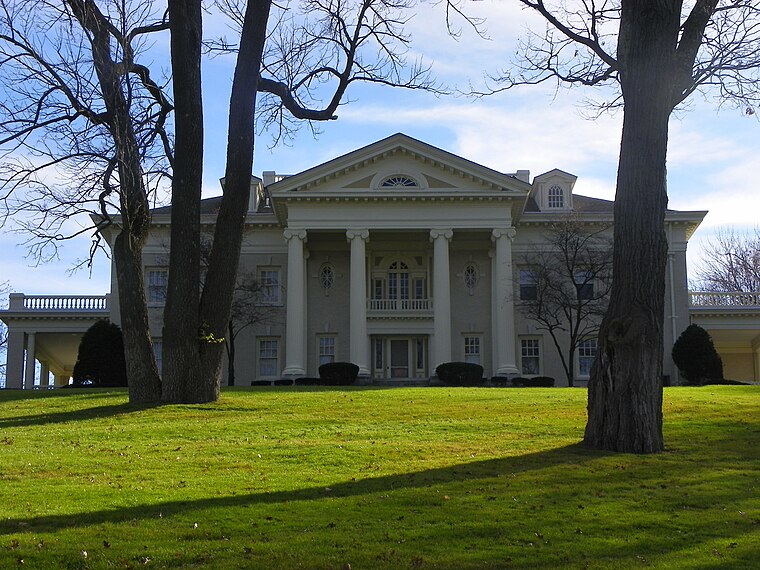
Photo: Zeist85, Public domain.
Oakwood is a city in Montgomery County, Ohio, United States. The population was 9,572 at the 2020 census. A suburb of Dayton, Oakwood is part of the Dayton metropolitan area. Oakwood is situated 1½ miles east of James F. Dicke Family Transportation Center.
Moraine
Village

Photo: Nyttend, Public domain.
Moraine is a city in Montgomery County, Ohio, United States. Situated on the banks of the Great Miami River, Moraine is an inner suburb of Dayton, Ohio and a part of the Dayton metropolitan area. The population was 6,393 at the 2020 census. Moraine is situated 2 miles southwest of James F. Dicke Family Transportation Center.
South Park Historic District
Neighborhood

Photo: Nyttend, Public domain.
South Park is a 24-block, 150-acre area of more than 780 structures primarily dating from the 1880s to the early twentieth century. It is located south of downtown Dayton, Ohio, just north of the University of Dayton campus and Woodland Cemetery, and east of Miami Valley Hospital. South Park Historic District is situated 2 miles northeast of James F. Dicke Family Transportation Center.
James F. Dicke Family Transportation Center
- Type: Building
- Location: Montgomery, Ohio, Midwest, United States, North America
- View on OpenStreetMap
Latitude
39.72878° or 39° 43′ 44″ northLongitude
-84.20329° or 84° 12′ 12″ westOpen location code
86FQPQHW+GMOpenStreetMap ID
way 190562562OpenStreetMap feature
building=yes
This page is based on OpenStreetMap, Wikidata, and Wikimedia Commons.
We’d love your help improving our open data sources. Thank you for contributing.
Satellite Map
Discover James F. Dicke Family Transportation Center from above in high-definition satellite imagery.
Notable Places Nearby
Highlights include John W. Berry Sr. Wright Brothers National Museum and Carillon Park Railroad.
Nearby Places
Explore places such as Dayton Cyclery and Miller Shelter.
Ohio: Must-Visit Destinations
Delve into Columbus, Cincinnati, Cleveland, and Bowling Green.
Curious Buildings to Discover
Uncover intriguing buildings from every corner of the globe.
About Mapcarta. Data © OpenStreetMap contributors and available under the Open Database License". Text is available under the CC BY-SA 4.0 license, except for photos, directions, and the map. Photo: Wikimedia, CC0.