Noerpel Hannover
Noerpel Hannover is in Langenhagen, Hanover Region, Lower Saxony, and is located on Münchner Straße. Noerpel Hannover is situated nearby to the airport terminal C, as well as near D.| Tap on a place to explore it |
Places of Interest Nearby
Highlights include Hannover Airport and Hanover Airport station.
Hannover Airport
Aerodrome

Photo: TeWeBs, CC BY-SA 4.0.
Hannover Airport is the international airport of Hanover, capital of the German state of Lower Saxony. The ninth largest airport in Germany, it is situated on 570 hectares in Langenhagen, 11 kilometres north of the centre of Hanover.
Hanover Airport station
Railway station

Photo: Geogast, CC BY-SA 4.0.
Hanover Airport is a railway station located under the terminal of Hanover Airport, Germany. The station is located on a branch of the Heath Railway. The train services are operated by Deutsche Bahn as part of the Hanover S-Bahn. Hanover Airport station is situated 1 km north of Noerpel Hannover.
Langenhagen Mitte station
Railway station
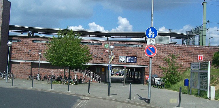
Photo: Wikimedia, CC BY-SA 3.0.
Langenhagen Mitte station is a railway station, which is situated 2 km southeast of Noerpel Hannover.
Places in the Area
Nearby places include Langenhagen and Engelbostel.
Langenhagen
Town

Photo: Fischchen, CC BY-SA 3.0.
Langenhagen is a town in the Hanover district of Lower Saxony, Germany. Langenhagen is situated 2½ km east of Noerpel Hannover.
Engelbostel
Suburb
Engelbostel is a district of the city of Langenhagen in the Hanover region. It was independent until 1974 when the village was incorporated into Langenhagen. Engelbostel is situated 3 km west of Noerpel Hannover.
Krähenwinkel
Suburb

Photo: Losch, CC BY-SA 4.0.
Krähenwinkel is a suburb, which is situated 3 km northeast of Noerpel Hannover.
Noerpel Hannover
- Type: Commerce
- Address: Münchner Straße 42, Langenhagen, 30855
- Location: Langenhagen, Hanover Region, Lower Saxony, Germany, Central Europe, Europe
- View on OpenStreetMap
Latitude
52.45016° or 52° 27′ 1″ northLongitude
9.70279° or 9° 42′ 10″ eastOpen location code
9F4FFP23+34OpenStreetMap ID
way 193732816OpenStreetMap feature
landuse=commercial
This page is based on OpenStreetMap, Wikidata, and Wikimedia Commons.
We’d love your help improving our open data sources. Thank you for contributing.
Satellite Map
Discover Noerpel Hannover from above in high-definition satellite imagery.
Notable Places Nearby
Highlights include D and C.
Nearby Places
Explore places such as MTU Maintenance Hannover GmbH and MTU Maintenance FLY INN BISTRO.
Hanover Region: Must-Visit Destinations
Delve into Hanover, Hildesheim, Nienburg, and Verden an der Aller.
Curious Places to Discover
Uncover intriguing places from every corner of the globe.
About Mapcarta. Data © OpenStreetMap contributors and available under the Open Database License". Text is available under the CC BY-SA 4.0 license, except for photos, directions, and the map. Photo: Ukko.de, CC BY-SA 3.0.