Freiwillige Feuerwehr Warfleth
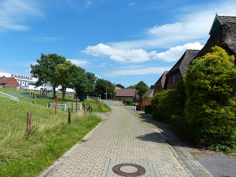
Freiwillige Feuerwehr Warfleth is a fire station in Berne, Wesermarsch, Lower Saxony which is located on Deichstraße. Freiwillige Feuerwehr Warfleth is situated nearby to the shipyard Fassmer Werft, as well as near Dock 10.| Tap on a place to explore it |
Places of Interest Nearby
Highlights include Lighthouse Warflether Sand and Churches in Berne.
Lighthouse Warflether Sand
Lighthouse

Photo: Ulamm, CC BY-SA 4.0.
Lighthouse Warflether Sand is situated 1¼ km northwest of Freiwillige Feuerwehr Warfleth.
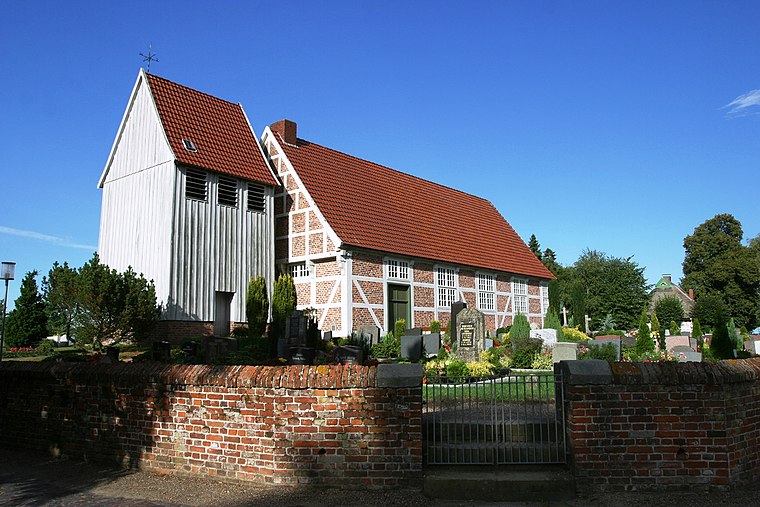
Churches in Berne
Church

Photo: Eduard47, CC BY-SA 4.0.
Churches in Berne is situated 1¼ km northwest of Freiwillige Feuerwehr Warfleth.
Bremen-Turnerstraße station
Railway station

Photo: Clic, CC BY-SA 4.0.
Bremen-Turnerstraße station is a railway station, which is situated 1½ km north of Freiwillige Feuerwehr Warfleth.
Places in the Area
Nearby places include Motzen and Bardenfleth.
Freiwillige Feuerwehr Warfleth
- Type: Fire station
- Address: Deichstraße 167, Berne
- Category: building
- Location: Berne, Wesermarsch, Lower Saxony, Germany, Central Europe, Europe
- View on OpenStreetMap
Latitude
53.17906° or 53° 10′ 45″ northLongitude
8.54678° or 8° 32′ 48″ eastOpen location code
9F5C5GHW+JPOpenStreetMap ID
way 194901749OpenStreetMap feature
amenity=fire_stationOpenStreetMap feature
building=yes
This page is based on OpenStreetMap, Wikidata, and Wikimedia Commons.
We’d love your help improving our open data sources. Thank you for contributing.
Satellite Map
Discover Freiwillige Feuerwehr Warfleth from above in high-definition satellite imagery.
Notable Places Nearby
Highlights include Fassmer Werft and Fassmer.
Nearby Places
Explore places such as Warfleth, Feuerwehr and Ganspe, Adlerstraße.
Lower Saxony: Must-Visit Destinations
Delve into Hanover, Göttingen, Brunswick, and Wolfsburg.
Curious Fire Stations to Discover
Uncover intriguing fire stations from every corner of the globe.
About Mapcarta. Data © OpenStreetMap contributors and available under the Open Database License". Text is available under the CC BY-SA 4.0 license, except for photos, directions, and the map. Photo: Danapit, CC BY-SA 3.0.