Burnsville Ice Center
Burnsville Ice Center is an ice rink in City of Burnsville, Dakota, Minnesota which is located on Civic Center Parkway. Burnsville Ice Center is situated nearby to Civic Center Park, as well as near the pitch Burnsville Skate Park.| Tap on a place to explore it |
Places of Interest Nearby
Highlights include Burnsville Transit Station and Burnsville Senior High School.
Burnsville Transit Station
Bus station
Burnsville Transit Station is a transit facility located in the vicinity of downtown Burnsville, Minnesota, and is the flagship station of the Minnesota Valley Transit Authority. Burnsville Transit Station is situated 1 mile north of Burnsville Ice Center.
Burnsville Senior High School
School building

Photo: Gaodifan, Public domain.
Burnsville High School is a four-year public high school in Burnsville, Minnesota, United States. Burnsville is a southern suburb about 15 miles south of Minneapolis. Burnsville Senior High School is situated 1¼ miles north of Burnsville Ice Center.
Edward D. Neill Elementary School
School
Burnsville–Eagan–Savage is an independent school district in the U.S. state of Minnesota; it serves the city of Burnsville and parts of the neighboring cities of Savage and Eagan. Edward D. Neill Elementary School is situated 2 miles west of Burnsville Ice Center.
Places in the Area
Nearby places include Burnsville and Savage.
Burnsville
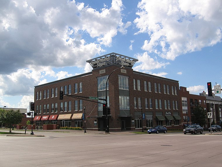
Photo: Wikimedia, CC BY-SA 2.0.
Burnsville is a city 15 miles south of downtown Minneapolis in Dakota County, Minnesota. The city is situated on a bluff overlooking the south bank of the Minnesota River, upstream from its confluence with the Mississippi River.
Savage
Town

Photo: Tpdwkouaa, CC BY-SA 4.0.
Savage is a suburban city 15 miles south-southwest of downtown Minneapolis in Scott County in the U.S. state of Minnesota. The city is on the south bank of the Minnesota River in a region commonly called South of the River, comprising the southern portion of Minneapolis-St. Savage is situated 3 miles west of Burnsville Ice Center.
Apple Valley
 Apple Valley, a relatively-modern suburban community at the southern edge of Minnesota's Twin Cities region, is far enough from the city to have plenty of open space to host parkland, a golf course and the state's expansive zoological gardens while remaining close enough to allow easy access to Minneapolis and its big-city amenities.
Burnsville Ice Center
- Type: Ice rink
- Address: 251 Civic Center Parkway, Burnsville, MN 55337
- Categories: building, public building, recreation area, and sports location
- Location: City of Burnsville, Dakota, Minnesota, Midwest, United States, North America
- View on OpenStreetMap
Latitude
44.7655° or 44° 45′ 56″ northLongitude
-93.27211° or 93° 16′ 20″ westOperator
City of BurnsvilleOpen location code
86P8QP8H+65OpenStreetMap ID
way 201705971OpenStreetMap feature
building=publicOpenStreetMap feature
leisure=ice_rinkOpenStreetMap feature
sport=multiOpenStreetMap feature
sport=ice_hockeyOpenStreetMap feature
sport=curling
This page is based on OpenStreetMap, Wikidata, and Wikimedia Commons.
We’d love your help improving our open data sources. Thank you for contributing.
Satellite Map
Discover Burnsville Ice Center from above in high-definition satellite imagery.
Notable Places Nearby
Highlights include Civic Center Park and Burnsville Skate Park.
Nearby Places
Explore places such as Nicollet Junior High School and Sky Oaks Elementary School.
Minnesota: Must-Visit Destinations
Delve into Minneapolis, Saint Paul, Duluth, and Rochester.
Curious Ice Rinks to Discover
Uncover intriguing ice rinks from every corner of the globe.
About Mapcarta. Data © OpenStreetMap contributors and available under the Open Database License". Text is available under the CC BY-SA 4.0 license, except for photos, directions, and the map. Photo: Wikimedia, CC0.