Lerhof
Lerhof is a building in Rohrdorf, Rosenheim, Bavaria which is located on Fasanenstraße. Lerhof is situated nearby to the church Hl. Familie, as well as near the railway station Thansau.| Tap on a place to explore it |
Places of Interest Nearby
Highlights include Rosenheim power station and Bauernhausmuseum.
Rosenheim power station
Power station

Photo: Georgenhausen, CC BY-SA 4.0.
Rosenheim power station is situated 1½ km north of Lerhof.
Bauernhausmuseum
Museum

Photo: Rufus46, CC BY-SA 3.0.
Bauernhausmuseum is situated 2½ km south of Lerhof.
Rofa-Stadion
Stadium

Photo: Florian-schäffer, CC BY-SA 3.0 de.
The ROFA-Stadion is an arena in Rosenheim, Germany. It is primarily used for ice hockey. The stadium opened in 1962 as an open-air stadium and got roofed in 1973. Rofa-Stadion is situated 3½ km northwest of Lerhof.
Places in the Area
Nearby places include Aising and Pfraundorf.
Aising
Suburb

Photo: Rufus46, CC BY-SA 3.0.
Aising is a suburb, which is situated 3½ km west of Lerhof.
Pfraundorf
Village

Photo: Rufus46, CC BY-SA 3.0.
Pfraundorf is a village, which is situated 3½ km southwest of Lerhof.
Riedering
Village
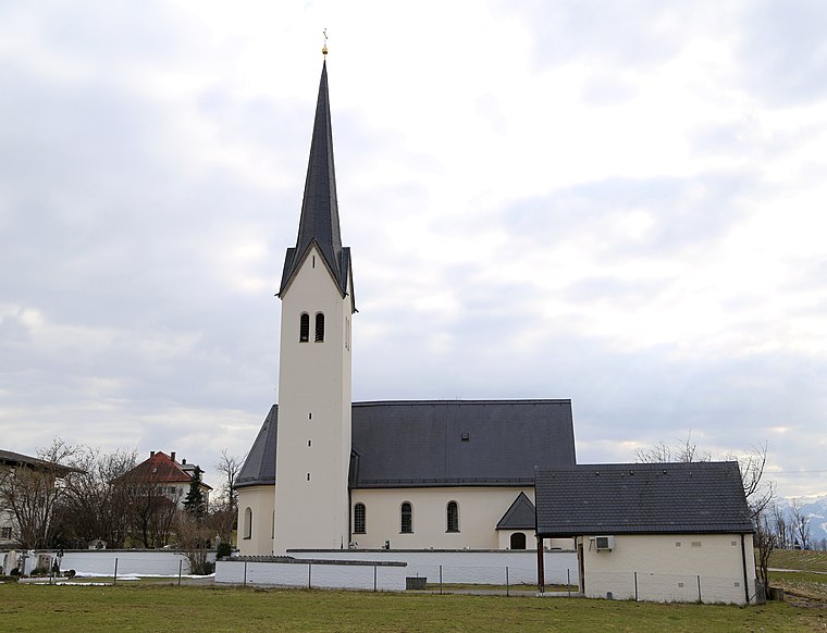
Photo: Rufus46, CC BY-SA 3.0.
Riedering is a municipality in the district of Rosenheim in Bavaria in Germany. Riedering is situated 4 km northeast of Lerhof.
Lerhof
- Type: Building
- Address: Fasanenstraße 18, Rohrdorf, 83101
- Location: Rohrdorf, Rosenheim, Upper Bavaria, Bavaria, Germany, Central Europe, Europe
- View on OpenStreetMap
Latitude
47.82278° or 47° 49′ 22″ northLongitude
12.15961° or 12° 9′ 35″ eastOpen location code
8FVJR5F5+4ROpenStreetMap ID
way 203929049OpenStreetMap feature
building=yes
This page is based on OpenStreetMap, Wikidata, and Wikimedia Commons.
We’d love your help improving our open data sources. Thank you for contributing.
Satellite Map
Discover Lerhof from above in high-definition satellite imagery.
Notable Places Nearby
Highlights include Hl. Familie and Thansau.
Nearby Places
Explore places such as Lerhof and Seniorenwohnen Haus St. Anna.
Upper Bavaria: Must-Visit Destinations
Delve into Munich, Ingolstadt, Rosenheim, and Dachau.
Curious Buildings to Discover
Uncover intriguing buildings from every corner of the globe.
About Mapcarta. Data © OpenStreetMap contributors and available under the Open Database License". Text is available under the CC BY-SA 4.0 license, except for photos, directions, and the map. Photo: Aconcagua, CC BY-SA 3.0.