Déchetterie La Clopette
Déchetterie La Clopette is a building in Vaud, Western Switzerland which is located on Chemin de la Clopette. Déchetterie La Clopette is situated nearby to the fire station SDIS Gros-de-Vaud, as well as near the forest Bois du Mont.| Tap on a place to explore it |
Places of Interest Nearby
Highlights include Castle and Museum of the House of wheat and bread.
Castle
Castle

Photo: Wikimedia, CC BY-SA 3.0.
Castle is situated 650 metres east of Déchetterie La Clopette.
Museum of the House of wheat and bread
Museum

Photo: Gameb, CC BY-SA 3.0.
Museum of the House of wheat and bread is situated 1 km east of Déchetterie La Clopette.
Echallens railway station
Railway station

Photo: Abaddon1337, CC BY-SA 3.0.
Echallens railway station is a railway station in the municipality of Échallens, in the Swiss canton of Vaud. It is located on the 1,000 mm Lausanne–Bercher line of the Chemin de fer Lausanne-Échallens-Bercher. Echallens railway station is situated 1 km southeast of Déchetterie La Clopette.
Places in the Area
Nearby places include Échallens and Saint-Barthélemy.
Échallens
Village
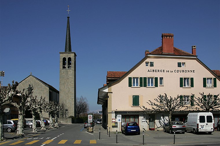
Photo: Wikimedia, CC BY-SA 3.0.
Échallens is a municipality in the district of Gros-de-Vaud in the canton of Vaud in Switzerland.
Saint-Barthélemy
Village

Photo: Abaddon1337, CC BY-SA 3.0.
Saint-Barthélemy is a municipality in the district of Gros-de-Vaud in the canton of Vaud in Switzerland.
Villars-le-Terroir
Village

Photo: Abaddon1337, CC BY-SA 3.0.
Villars-le-Terroir is a municipality in the district of Gros-de-Vaud in the canton of Vaud in Switzerland.
Déchetterie La Clopette
- Type: Building
- Address: Chemin de la Clopette 2, Echallens, 1040
- Location: Vaud, Western Switzerland, Switzerland, Central Europe, Europe
- View on OpenStreetMap
Latitude
46.6433° or 46° 38′ 36″ northLongitude
6.622° or 6° 37′ 19″ eastOpen location code
8FR8JJVC+8QOpenStreetMap ID
way 205389853OpenStreetMap feature
amenity=recyclingOpenStreetMap feature
building=yes
This page is based on OpenStreetMap, Wikidata, and Wikimedia Commons.
We’d love your help improving our open data sources. Thank you for contributing.
Satellite Map
Discover Déchetterie La Clopette from above in high-definition satellite imagery.
Notable Places Nearby
Highlights include SDIS Gros-de-Vaud and Bois du Mont.
Nearby Places
Explore places such as La Challensoise and Le Cellier.
Vaud: Must-Visit Destinations
Delve into Lausanne, Montreux, Nyon, and Vevey.
Curious Buildings to Discover
Uncover intriguing buildings from every corner of the globe.
About Mapcarta. Data © OpenStreetMap contributors and available under the Open Database License". Text is available under the CC BY-SA 4.0 license, except for photos, directions, and the map. Photo: Annickjaquillard, CC BY-SA 4.0.