Am König
Am König is an allotment garden in Jena, Thuringia. Am König is situated nearby to the scenic viewpoint Ferdinandstein, as well as near Sommerlinde.| Tap on a place to explore it |
Places of Interest Nearby
Highlights include Lobdeburg and Auferstehungskirche Drackendorf.

Auferstehungskirche Drackendorf
Church

Photo: Aschroet, CC BY-SA 3.0.
Auferstehungskirche Drackendorf is a church, which is situated 720 metres south of Am König.
Johannisberg
Archaeological site

Photo: Krtek76, CC BY-SA 3.0.
Johannisberg is a prominent ridge of the Wöllmisse, a Muschelkalk plateau east of Jena. The steeply sloping spur of land to the Saale Valley north of the district of Alt-Lobeda bears the remains of two important fortifications from the late Bronze Age and the early Middle Ages. Johannisberg is situated 1½ km northwest of Am König.
Places in the Area
Nearby places include Drackendorf and Neulobeda.

Neulobeda
Suburb
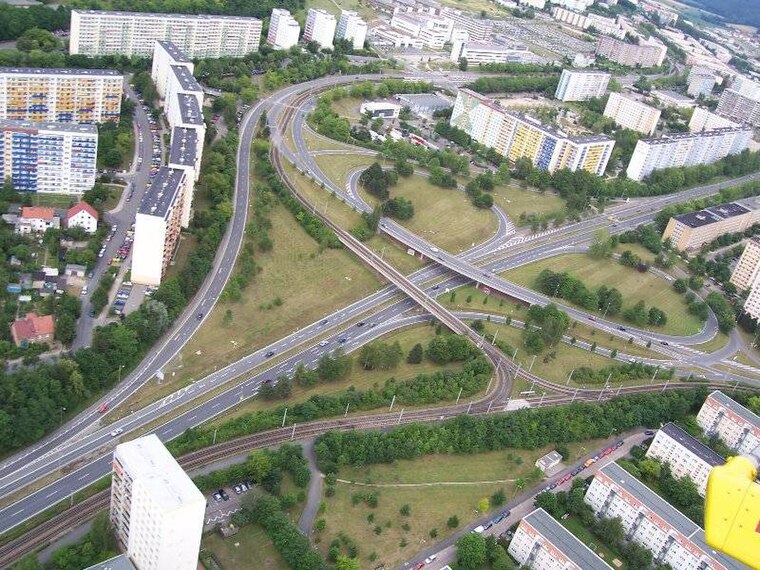
Photo: Hamster3, CC BY-SA 2.5.
Neulobeda is the largest district of the Thuringian university town Jena with over 22,000 residents. The residents are distributed over an area of 3.6 km2.
Lobeda
Suburb
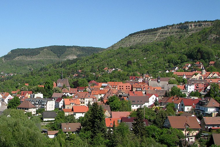
Photo: Oglobeda, Public domain.
Lobeda is a former independent city in Thuringia, Germany, which is now a district of Jena known as Lobeda-Old Town. It was incorporated in 1946, has just under 2000 inhabitants on an area of 3.36 square kilometers and is located just under 4.5 kilometers south of the city center.
Am König
- Type: Allotment garden
- Location: Jena, Thuringia, Germany, Central Europe, Europe
- View on OpenStreetMap
Latitude
50.89446° or 50° 53′ 40″ northLongitude
11.63141° or 11° 37′ 53″ eastOpen location code
9F2HVJVJ+QHOpenStreetMap ID
way 206308411OpenStreetMap feature
landuse=allotments
This page is based on OpenStreetMap, Wikidata, and Wikimedia Commons.
We’d love your help improving our open data sources. Thank you for contributing.
Satellite Map
Discover Am König from above in high-definition satellite imagery.
Notable Places Nearby
Highlights include Ferdinandstein and Sommerlinde.
Nearby Places
Explore places such as Sonnenhang and Am Pfaffenberg.
Thuringia: Must-Visit Destinations
Delve into Erfurt, Weimar, Gera, and Eisenach.
Curious Allotment Gardens to Discover
Uncover intriguing allotment gardens from every corner of the globe.
About Mapcarta. Data © OpenStreetMap contributors and available under the Open Database License". Text is available under the CC BY-SA 4.0 license, except for photos, directions, and the map. Photo: Taxiarchos228, FAL.