Freiwillige Feuerwehr Aurich
Freiwillige Feuerwehr Aurich is a fire station in Vaihingen an der Enz, Ludwigsburg, Baden-Württemberg which is located on Hirsauer Straße. Freiwillige Feuerwehr Aurich is situated nearby to the church Johanniskirche, as well as near the town hall Verwaltungsstelle Aurich.| Tap on a place to explore it |
Places of Interest Nearby
Highlights include Johanniskirche and Schloss Nussdorf.

Schloss Nussdorf
Castle

Photo: Harke, CC BY-SA 3.0.
Schloss Nussdorf is a castle, which is situated 2½ km south of Freiwillige Feuerwehr Aurich.
Kirche zum Heiligen Kreuz
Church

Photo: P. Fendrich, CC BY-SA 4.0.
Kirche zum Heiligen Kreuz is a church, which is situated 2½ km south of Freiwillige Feuerwehr Aurich.
Places in the Area
Nearby places include Aurich and Enzweihingen.

Enzweihingen
Village
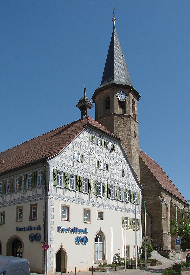
Photo: Mussklprozz, CC BY-SA 3.0.
Enzweihingen is a village, part of the town of Vaihingen an der Enz, Germany. It has a population of 3,951 people. Enzweihingen lies about three miles southeast of the centre of Vaihingen, between Strohgäu and Heckengäu, at the confluence of the Kreuzbach, Strudelbach and Enz. Enzweihingen is situated 3 km east of Freiwillige Feuerwehr Aurich.
Riet
Village
Riet is a village in the town of Vaihingen an der Enz, Germany. The population is around 900, and it is about 5 kilometres south of central Vaihingen. Riet is situated 3 km southeast of Freiwillige Feuerwehr Aurich.
Freiwillige Feuerwehr Aurich
- Type: Fire station
- Address: Hirsauer Straße 15, Aurich, Vaihingen an der Enz, 71665
- Category: building
- Location: Vaihingen an der Enz, Ludwigsburg, Stuttgart, Stuttgart Region, Baden-Württemberg, Germany, Central Europe, Europe
- View on OpenStreetMap
Latitude
48.91367° or 48° 54′ 49″ northLongitude
8.94638° or 8° 56′ 47″ eastOpen location code
8FWCWW7W+FHOpenStreetMap ID
way 206956823OpenStreetMap feature
amenity=fire_stationOpenStreetMap feature
building=yes
This page is based on OpenStreetMap, Wikidata, and Wikimedia Commons.
We’d love your help improving our open data sources. Thank you for contributing.
Satellite Map
Discover Freiwillige Feuerwehr Aurich from above in high-definition satellite imagery.
Places with the Same Name
Discover other places named “Freiwillige Feuerwehr Aurich”.
Notable Places Nearby
Highlights include Verwaltungsstelle Aurich and Schulhof.
Nearby Places
Explore places such as Dorfkelter and Gemeindehaus Aurich.
Stuttgart Region: Must-Visit Destinations
Delve into Stuttgart, Ludwigsburg, Esslingen, and Sindelfingen.
Curious Fire Stations to Discover
Uncover intriguing fire stations from every corner of the globe.
About Mapcarta. Data © OpenStreetMap contributors and available under the Open Database License". Text is available under the CC BY-SA 4.0 license, except for photos, directions, and the map. Photo: qwesy qwesy, CC BY 3.0.