P9
P9 is a parking area in Thun, Canton of Bern. P9 is situated nearby to the public building Energie Thun, as well as near the military installation Waffenplatz Thun.| Tap on a place to explore it |
- Type: Parking area
- Parking: surface
- Wheelchair access: yes
Places of Interest Nearby
Highlights include Panzermuseum Thun and Stockhorn Arena.
Panzermuseum Thun
Museum

Photo: Alfvanbeem, CC0.
The Panzermuseum Thun was a museum in Thun in the Canton of Bern in Switzerland. Exhibited in the museum were foreign and Swiss tanks as well as examples of Swiss self-propelled artillery and static artillery. Panzermuseum Thun is situated 360 metres north of P9.
Stockhorn Arena
Stadium

Photo: Gidoca, CC BY-SA 3.0.
Stockhorn Arena is a football stadium in the city of Thun, Switzerland. It has a capacity of 10,000 spectators and opened in 2011. It is the home of FC Thun men and women's team of the Swiss Super League. Stockhorn Arena is situated 1¼ km south of P9.

Places in the Area
Nearby places include Allmendingen bei Thun and Thierachern.
Allmendingen bei Thun
Neighborhood
Strättligen is a former municipality of the Swiss canton of Bern, since 1920 incorporated into the municipality of Thun. Its area accounts for roughly the southern half of the territory of present-day Thun municipality, including the districts of Scherzligen, Dürrenast, Neufeld, Allmendingen, Buchholz, Schoren, Gwatt.
Thierachern
Village

Photo: Ginkgo2g, CC BY-SA 4.0.
Thierachern is a municipality in the administrative district of Thun in the canton of Bern in Switzerland. Thierachern is situated 2½ km west of P9.
Steffisburg
Town
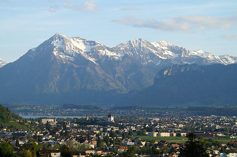
Photo: Clark park, Public domain.
Steffisburg is a municipality in the administrative district of Thun in the canton of Bern in Switzerland. On 1 January 2020 the former municipality of Schwendibach merged into the municipality of Steffisburg. Steffisburg is situated 3 km northeast of P9.
P9
- Category: transportation
- Location: Thun, Thun, Canton of Bern, Bernese Highlands, Switzerland, Central Europe, Europe
- View on OpenStreetMap
Latitude
46.75566° or 46° 45′ 20″ northLongitude
7.61059° or 7° 36′ 38″ eastOpen location code
8FR9QJ46+76OpenStreetMap ID
way 210875710OpenStreetMap feature
amenity=parkingOpenStreetMap attribute
parking=surfaceOpenStreetMap attribute
wheelchair=yes
This page is based on OpenStreetMap, Wikidata, and Wikimedia Commons.
We’d love your help improving our open data sources. Thank you for contributing.
Satellite Map
Discover P9 from above in high-definition satellite imagery.
Notable Places Nearby
Highlights include Energie Thun and Waffenplatz Thun.
Nearby Places
Explore places such as Allmendhof and Thun, Allmendhof.
Bernese Highlands: Must-Visit Destinations
Delve into Interlaken, Lauterbrunnen, Grindelwald, and Meiringen.
Curious Parking Areas to Discover
Uncover intriguing parking areas from every corner of the globe.
About Mapcarta. Data © OpenStreetMap contributors and available under the Open Database License". Text is available under the CC BY-SA 4.0 license, except for photos, directions, and the map. Photo: Wikimedia, CC BY-SA 3.0.