Bois de la Clabatte
Bois de la Clabatte is a forest in Valdivienne, Arrondissement of Montmorillon, Nouvelle-Aquitaine. Bois de la Clabatte is situated nearby to the hamlet Les Granges, as well as near La Chevrolière.| Tap on a place to explore it |
Places of Interest
Highlights include Église Saint-Hilaire de Salles-en-Toulon and La Thibaudière.
Église Saint-Hilaire de Salles-en-Toulon
Church

Photo: CaptainHaddock, CC BY 3.0.
Église Saint-Hilaire de Salles-en-Toulon is a church.

Places in the Area
Nearby places include Valdivienne and Pouillé.
Valdivienne
Village
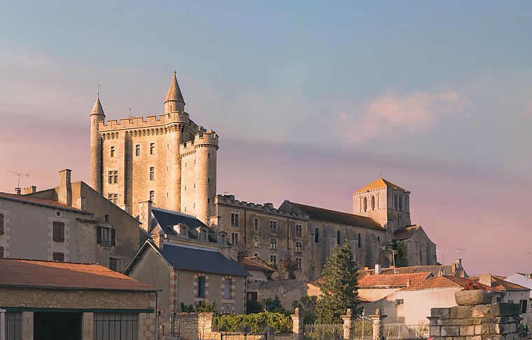
Photo: Picte, CC BY-SA 4.0.
Valdivienne is a commune in the Vienne department in the Nouvelle-Aquitaine region in western France. Its name is a contraction of "Vallée de la Dive et de la Vienne".
Pouillé
Village

Photo: PèreForez, CC BY-SA 4.0.
Pouillé is a commune in the Vienne department in the Nouvelle-Aquitaine region in western France.
Tercé
Village

Photo: CaptainHaddock, CC BY 3.0.
Tercé is a commune in the Vienne department in the Nouvelle-Aquitaine region in western France.
Bois de la Clabatte
- Type: Forest
- Location: Valdivienne, Arrondissement of Montmorillon, Vienne, Nouvelle-Aquitaine, France, Europe
- View on OpenStreetMap
Latitude
46.5103° or 46° 30′ 37″ northLongitude
0.6469° or 0° 38′ 49″ eastOpen location code
8FR2GJ6W+4POpenStreetMap ID
way 211897218OpenStreetMap feature
landuse=forest
This page is based on OpenStreetMap, Wikidata, and Wikimedia Commons.
We’d love your help improving our open data sources. Thank you for contributing.
Satellite Map
Discover Bois de la Clabatte from above in high-definition satellite imagery.
Localities in the Area
Explore places such as Les Granges and La Chevrolière.
Notable Places Nearby
Highlights include Bois du Ri and Saint-Martin-la-Rivière cemetery.
Vienne: Must-Visit Destinations
Delve into Poitiers and Oradour-sur-Glane.
Curious Forests to Discover
Uncover intriguing forests from every corner of the globe.
About Mapcarta. Data © OpenStreetMap contributors and available under the Open Database License". Text is available under the CC BY-SA 4.0 license, except for photos, directions, and the map. Photo: JLPC, CC BY-SA 3.0.