Reformiertes Kirchgemeindehaus
Reformiertes Kirchgemeindehaus is a church in Thun, Canton of Bern which is located on Frutigenstrasse. Reformiertes Kirchgemeindehaus is situated nearby to the church Evangelisch Methodistische Kirche, as well as near FEG Thun.| Tap on a place to explore it |
- Type: Church
- Denomination: Protestant
- Address: Frutigenstrasse 22, Thun, 3600
Places of Interest Nearby
Highlights include Thun railway station and Thun Castle.
Thun railway station
Railway station

Photo: DidiWeidmann, CC BY-SA 3.0.
Thun is a railway station in the town of Thun, in the Swiss canton of Bern. At the station, the Swiss Federal Railways owned Bern to Thun main line makes a junction with the other lines, all owned by the BLS AG. Thun railway station is situated 270 metres northeast of Reformiertes Kirchgemeindehaus.
Thun Castle
 Thun Castle is a castle in the city of Thun, in the Swiss canton of Bern. It was built in the 12th century, today houses the Thun Castle museum, and is a Swiss heritage site of national significance. Thun Castle is situated 780 metres north of Reformiertes Kirchgemeindehaus.
Art Museum Thun
Museum

Photo: Gidoca, CC BY-SA 3.0.
Art Museum Thun is situated 610 metres northeast of Reformiertes Kirchgemeindehaus.
Places in the Area
Nearby places include Allmendingen bei Thun and Steffisburg.
Allmendingen bei Thun
Neighborhood
Strättligen is a former municipality of the Swiss canton of Bern, since 1920 incorporated into the municipality of Thun. Its area accounts for roughly the southern half of the territory of present-day Thun municipality, including the districts of Scherzligen, Dürrenast, Neufeld, Allmendingen, Buchholz, Schoren, Gwatt. Allmendingen bei Thun is situated 2½ km southwest of Reformiertes Kirchgemeindehaus.
Steffisburg
Town
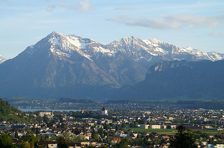
Photo: Clark park, Public domain.
Steffisburg is a municipality in the administrative district of Thun in the canton of Bern in Switzerland. On 1 January 2020 the former municipality of Schwendibach merged into the municipality of Steffisburg. Steffisburg is situated 3 km north of Reformiertes Kirchgemeindehaus.
Schwendibach
Village
Schwendibach is a former municipality in the administrative district of Thun in the canton of Bern in Switzerland. On 1 January 2020 the former municipality of Schwendibach merged into the municipality of Steffisburg. Schwendibach is situated 3 km northeast of Reformiertes Kirchgemeindehaus.
Reformiertes Kirchgemeindehaus
- Categories: building, place of worship, and religion
- Location: Thun, Thun, Canton of Bern, Bernese Highlands, Switzerland, Central Europe, Europe
- View on OpenStreetMap
Latitude
46.75314° or 46° 45′ 11″ northLongitude
7.62728° or 7° 37′ 38″ eastElevation
559 metres (1,834 feet)Open location code
8FR9QJ3G+7WOpenStreetMap ID
way 212782816OpenStreetMap feature
amenity=place_of_worshipOpenStreetMap feature
building=yesOpenStreetMap attribute
denomination=protestant
This page is based on OpenStreetMap, Wikidata, and Wikimedia Commons.
We’d love your help improving our open data sources. Thank you for contributing.
Satellite Map
Discover Reformiertes Kirchgemeindehaus from above in high-definition satellite imagery.
Places with the Same Name
Discover other places named “Reformiertes Kirchgemeindehaus”.
Notable Places Nearby
Highlights include Evangelisch Methodistische Kirche and FEG Thun.
Nearby Places
Explore places such as driving center thun and Thun, Klosestrasse.
Bernese Highlands: Must-Visit Destinations
Delve into Interlaken, Lauterbrunnen, Grindelwald, and Meiringen.
Curious Churches to Discover
Uncover intriguing churches from every corner of the globe.
About Mapcarta. Data © OpenStreetMap contributors and available under the Open Database License". Text is available under the CC BY-SA 4.0 license, except for photos, directions, and the map. Photo: Wikimedia, CC BY-SA 3.0.