La Pointe de Pouzioux
La Pointe de Pouzioux is a forest in Valdivienne, Arrondissement of Montmorillon, Nouvelle-Aquitaine. La Pointe de Pouzioux is situated nearby to the locality Les Buis, as well as near Pre de La Touche.| Tap on a place to explore it |
Places of Interest
Highlights include Église Saint-Jean Baptiste de Lhommaizé and Château de Morthemer.
Église Saint-Jean Baptiste de Lhommaizé
Church

Photo: Patrice78500, CC BY-SA 4.0.
Église Saint-Jean Baptiste de Lhommaizé is a church.

Église Notre-Dame-de-l’Assomption Morthemer
Church
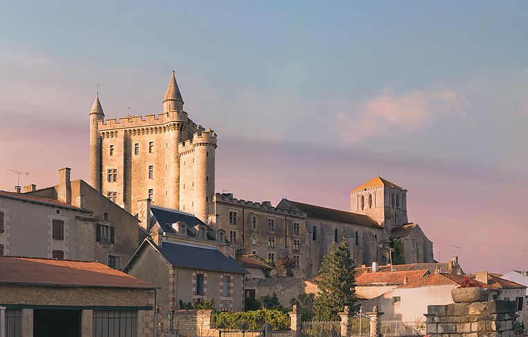
Photo: Picte, CC BY-SA 4.0.
Église Notre-Dame-de-l’Assomption Morthemer is a church.
Places in the Area
Nearby places include Lhommaizé and Verrières.
Lhommaizé
Village

Photo: Pymouss, CC BY-SA 3.0.
Lhommaizé is a commune in the Vienne department in the Nouvelle-Aquitaine region of western France.
Verrières
Village

Photo: Crochet.david, CC BY-SA 3.0.
Verrières is a commune in the Vienne department in the Nouvelle-Aquitaine region in western France.
Civaux
Village

Photo: Jochen Jahnke, CC BY-SA 3.0.
Civaux is a commune in the Vienne department, in the region of Nouvelle-Aquitaine, France.
La Pointe de Pouzioux
- Type: Forest
- Location: Valdivienne, Arrondissement of Montmorillon, Vienne, Nouvelle-Aquitaine, France, Europe
- View on OpenStreetMap
Latitude
46.4561° or 46° 27′ 22″ northLongitude
0.5852° or 0° 35′ 7″ eastOpen location code
8FR2FH4P+C3OpenStreetMap ID
way 213433455OpenStreetMap feature
landuse=forest
This page is based on OpenStreetMap, Wikidata, and Wikimedia Commons.
We’d love your help improving our open data sources. Thank you for contributing.
Satellite Map
Discover La Pointe de Pouzioux from above in high-definition satellite imagery.
Localities in the Area
Explore places such as Les Buis and Pre de La Touche.
Notable Places Nearby
Highlights include Bois au Loup and Bois de Pouzioux.
Vienne: Must-Visit Destinations
Delve into Poitiers and Oradour-sur-Glane.
Curious Forests to Discover
Uncover intriguing forests from every corner of the globe.
About Mapcarta. Data © OpenStreetMap contributors and available under the Open Database License". Text is available under the CC BY-SA 4.0 license, except for photos, directions, and the map. Photo: JLPC, CC BY-SA 3.0.