Wiesenhaus
Wiesenhaus is a hospital building in Bad Oeynhausen, Minden-Lübbecke, North Rhine-Westphalia. Wiesenhaus is situated nearby to the rehabilitation center Bad Oexen, as well as near the church Raum der Stille.| Tap on a place to explore it |
Places of Interest Nearby
Highlights include Schloss Ovelgönne and Derrick.
Schloss Ovelgönne
Castle

Photo: Ingo2802, CC BY-SA 3.0.
Schloss Ovelgönne is a castle, which is situated 1½ km southwest of Wiesenhaus.
Derrick
Historic site

Photo: Egeswender, Public domain.
A derrick is a lifting device composed at minimum of one guyed mast, as in a gin pole, which may be articulated over a load by adjusting its guys. Most derricks have at least two components, either a guyed mast or self-supporting tower, and a boom hinged at its base to provide articulation, as in a stiffleg derrick. Derrick is situated 3½ km southeast of Wiesenhaus.
Auferstehungskirche Dehme
Church

Photo: Torman70, CC BY-SA 4.0.
Auferstehungskirche Dehme is a church, which is situated 2 km southeast of Wiesenhaus.
Places in the Area
Nearby places include Dehme and Werste.
Dehme
Suburb
 Dehme is a village in the town of Bad Oeynhausen in the District Minden-Lübbecke, Regierungsbezirk Detmold. The village is located at the south side of the Wiehen Hills and the west bank of the river Weser.
Werste
Suburb
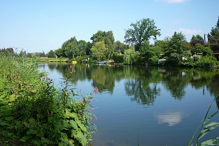
Photo: Ub12vow, CC BY-SA 3.0.
Werste is a suburb, which is situated 3½ km southwest of Wiesenhaus.
Vennebeck
Village

Photo: Ingo2802, CC BY-SA 3.0.
Vennebeck is a village, which is situated 5 km southeast of Wiesenhaus.
Wiesenhaus
- Type: Hospital building
- Categories: building and health care
- Location: Bad Oeynhausen, Minden-Lübbecke, Detmold, North Rhine-Westphalia, Germany, Central Europe, Europe
- View on OpenStreetMap
Latitude
52.24156° or 52° 14′ 30″ northLongitude
8.80938° or 8° 48′ 34″ eastOpen location code
9F4C6RR5+JQOpenStreetMap ID
way 213804087OpenStreetMap feature
building=hospital
This page is based on OpenStreetMap, Wikidata, and Wikimedia Commons.
We’d love your help improving our open data sources. Thank you for contributing.
Satellite Map
Discover Wiesenhaus from above in high-definition satellite imagery.
Places with the Same Name
Discover other places named “Wiesenhaus”.
Notable Places Nearby
Highlights include Bad Oexen and Raum der Stille.
Nearby Places
Explore places such as Palmengarten and Sportpavillon.
North Rhine-Westphalia: Must-Visit Destinations
Delve into Cologne, Düsseldorf, Bonn, and Dortmund.
Curious Places to Discover
Uncover intriguing places from every corner of the globe.
About Mapcarta. Data © OpenStreetMap contributors and available under the Open Database License". Text is available under the CC BY-SA 4.0 license, except for photos, directions, and the map. Photo: Daniel Schwen, CC BY-SA 2.5.