James Norcross Mausoleum
James Norcross Mausoleum is a building in City of Worcester, Massachusetts. James Norcross Mausoleum is situated nearby to Hope Cemetery, as well as near Robert Goddard.| Tap on a place to explore it |
Places of Interest Nearby
Highlights include Hope Cemetery and University Park.
Hope Cemetery
Cemetery

Photo: Pvmoutside, CC BY-SA 3.0.
Hope Cemetery is an historic rural cemetery at 119 Webster Street in Worcester, Massachusetts. Established in 1854, it was the city's sixth public cemetery, and is the burial site of remains originally interred at its first five cemeteries. Hope Cemetery is situated 360 feet southwest of James Norcross Mausoleum.
University Park
Park
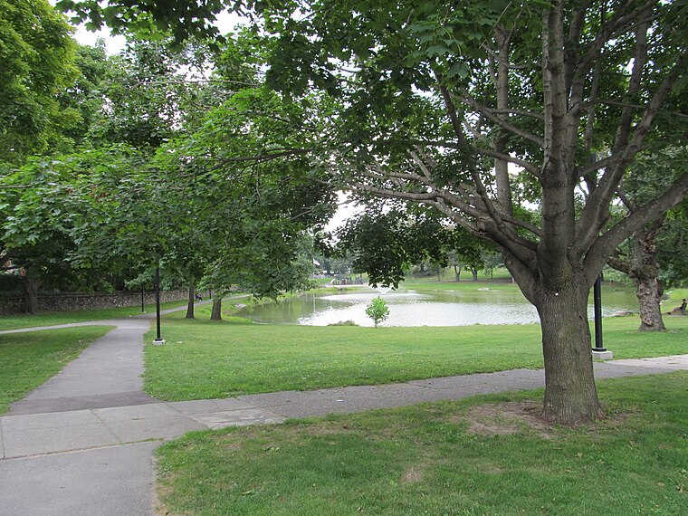
Photo: Faolin42, CC BY-SA 3.0.
University Park, also called Crystal Park, is a public park in the Main South neighborhood of Worcester, Massachusetts. The 13-acre park was acquired by the city from 1887 to 1889, costing nearly 62,000 dollars. University Park is situated 1 mile north of James Norcross Mausoleum.
Worcester Fire Department Webster Square Station
Fire station
The Webster Street Firehouse is a historic fire station at 40 Webster Street in Worcester, Massachusetts. The brick 2+1⁄2-story building was built in 1893 to a design by the local architectural firm of E. Worcester Fire Department Webster Square Station is situated 3,100 feet northwest of James Norcross Mausoleum.
Places in the Area
Nearby places include Beaver Street Historic District and Main South.
Beaver Street Historic District
Neighborhood

Photo: Faolin42, CC BY-SA 3.0.
The Beaver Street Historic District is a residential historic district in the Main South part of Worcester, Massachusetts. It encompasses a collection of five well preserved Colonial Revival triple-deckers located at 31-39 Beaver Street, and was listed on the National Register of Historic Places in 1990.
Main South
Neighborhood
Main South is a neighborhood in southern Worcester, Massachusetts. The area's eponymous feature is Main Street, the central roadway of the city. Main South experienced rapid economic development from the 1890s until the 1950s.
Providence Street Historic District
Neighborhood

Photo: Pvmoutside, CC BY-SA 3.0.
The Providence Street Historic District is a historic district in Worcester, Massachusetts. It includes a cohesive collection of triple decker houses built in the late 1920s in the Vernon Hill section of the city. Providence Street Historic District is situated 2 miles northeast of James Norcross Mausoleum.
James Norcross Mausoleum
- Type: Building
- Location: City of Worcester, Worcester, Massachusetts, New England, United States, North America
- View on OpenStreetMap
Latitude
42.23669° or 42° 14′ 12″ northLongitude
-71.82726° or 71° 49′ 38″ westOpen location code
87JC65PF+M3OpenStreetMap ID
way 214211034OpenStreetMap feature
building=yes
This page is based on OpenStreetMap, Wikidata, and Wikimedia Commons.
We’d love your help improving our open data sources. Thank you for contributing.
Satellite Map
Discover James Norcross Mausoleum from above in high-definition satellite imagery.
Notable Places Nearby
Highlights include James Norcross Mausoleum and Robert Goddard.
Nearby Places
Explore places such as Grand Army of the Republic Memorial and Coombs Memorial (Worcester Firemen’s Monument).
Massachusetts: Must-Visit Destinations
Delve into Boston, Cambridge, Springfield, and Downtown Boston.
Curious Buildings to Discover
Uncover intriguing buildings from every corner of the globe.
About Mapcarta. Data © OpenStreetMap contributors and available under the Open Database License". Text is available under the CC BY-SA 4.0 license, except for photos, directions, and the map. Photo: papadunes, CC BY-SA 3.0.