Dörkes
Dörkes is a farm in Kempen, Viersen, North Rhine-Westphalia. Dörkes is situated nearby to the health club Grenzland Fitness, as well as near the college VHS Viersen.| Tap on a place to explore it |
Places of Interest Nearby
Highlights include Kempen station and Burg Kempen.
Kempen station
Railway station
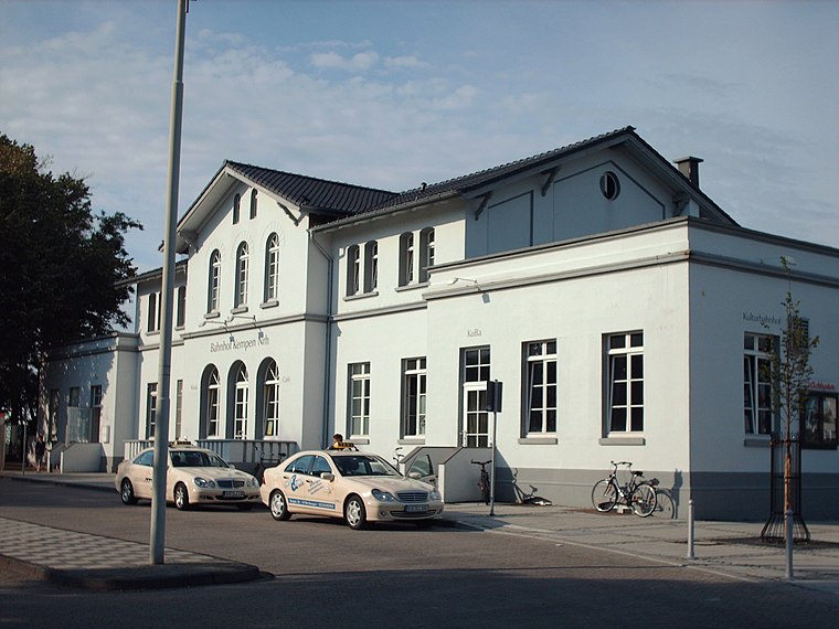
Photo: Stefan Flöper, CC BY-SA 4.0.
Kempen station is a railway station, which is situated 1½ km southwest of Dörkes.
Burg Kempen
Castle

Photo: Alexostrov, CC BY-SA 3.0.
Burg Kempen is a castle, which is situated 1½ km southwest of Dörkes.
Kuhtor (Kempen)
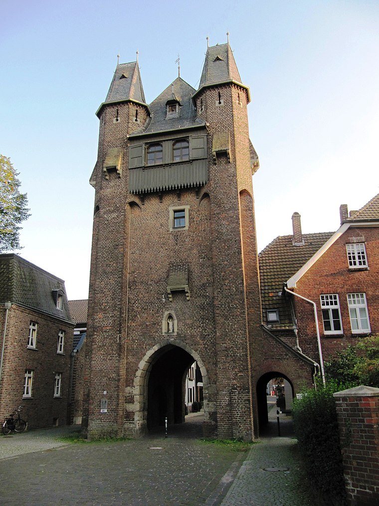
Photo: Palickap, CC BY-SA 4.0.
Kuhtor (Kempen) is situated 2 km southwest of Dörkes.
Places in the Area
Nearby places include Kempen and Hüls.
Kempen
Town

Photo: O.Falkner, CC BY-SA 3.0.
Kempen is a town in the district of Viersen, in North Rhine-Westphalia, Germany. It is situated approximately 30 kilometres northwest of Düsseldorf, and 20 kilometres east of Venlo.
Hüls
Suburb

Photo: Wikimedia, CC BY-SA 3.0.
Hüls is the most northerly district of Krefeld, North Rhine-Westphalia, Germany. Formerly an independent municipality, Hüls has been part of the city of Krefeld since 1975. Hüls is situated 5 km east of Dörkes.
Mülhausen
Village

Photo: Bolandt, CC BY-SA 3.0.
Mülhausen is a village, which is situated 6 km southwest of Dörkes.
Dörkes
- Type: Farm
- Category: agriculture
- Location: Kempen, Viersen, Düsseldorf, North Rhine-Westphalia, Germany, Central Europe, Europe
- View on OpenStreetMap
Latitude
51.37817° or 51° 22′ 41″ northLongitude
6.43803° or 6° 26′ 17″ eastOpen location code
9F389CHQ+76OpenStreetMap ID
way 214402066OpenStreetMap feature
landuse=farmyard
This page is based on OpenStreetMap, Wikidata, and Wikimedia Commons.
We’d love your help improving our open data sources. Thank you for contributing.
Satellite Map
Discover Dörkes from above in high-definition satellite imagery.
Places with the Same Name
Discover other places named “Dörkes”.
Notable Places Nearby
Highlights include Grenzland Fitness and VHS Viersen.
Nearby Places
Explore places such as Schauels and Schauteshof.
North Rhine-Westphalia: Must-Visit Destinations
Delve into Cologne, Düsseldorf, Bonn, and Dortmund.
Curious Farms to Discover
Uncover intriguing farms from every corner of the globe.
About Mapcarta. Data © OpenStreetMap contributors and available under the Open Database License". Text is available under the CC BY-SA 4.0 license, except for photos, directions, and the map. Photo: Daniel Schwen, CC BY-SA 2.5.