Speicher Brandrübel
Speicher Brandrübel is a reservoir in Schmölln, Altenburger Land, Thuringia. Speicher Brandrübel is situated nearby to the village Weißbach, as well as near Sommeritz.| Tap on a place to explore it |
Places of Interest
Highlights include Dorfkirche Selka and Protestant Church (Weißbach).


Ernest-Agnes-Tower
Scenic viewpoint

Photo: Agash C, CC BY-SA 3.0.
Ernest-Agnes-Tower is a scenic viewpoint.
Places in the Area
Nearby places include Nöbdenitz and Vollmershain.
Nöbdenitz
Village

Photo: Jwaller, CC BY-SA 3.0.
Nöbdenitz is a village and a former municipality in the district Altenburger Land, in Thuringia, Germany. Since 1 January 2019, it is part of the town Schmölln.
Vollmershain
Village

Photo: Lucas Friese, Public domain.
Vollmershain is a municipality in the Verwaltungsgemeinschaft of Oberes Sprottental in the Thuringian landkreis of Altenburger Land in Germany.
Heyersdorf
Village
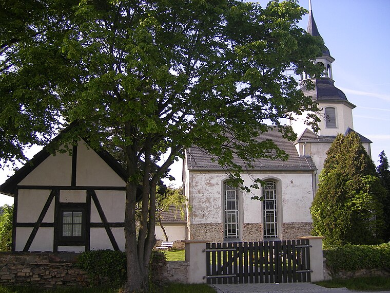
Photo: Lucas Friese, Public domain.
Heyersdorf is a municipality in the Thuringian district of Altenburger Land.
Speicher Brandrübel
- Type: Reservoir
- Category: body of water
- Location: Schmölln, Altenburger Land, Thuringia, Germany, Central Europe, Europe
- View on OpenStreetMap
Latitude
50.8692° or 50° 52′ 9″ northLongitude
12.3272° or 12° 19′ 38″ eastOpen location code
9F2JV89G+MVOpenStreetMap ID
way 216256500OpenStreetMap feature
natural=waterOpenStreetMap feature
water=reservoir
This page is based on OpenStreetMap, Wikidata, and Wikimedia Commons.
We’d love your help improving our open data sources. Thank you for contributing.
Satellite Map
Discover Speicher Brandrübel from above in high-definition satellite imagery.
Localities in the Area
Explore places such as Brandrübel and Weißbach.
Notable Places Nearby
Highlights include Weißbacher Sportverein 1951 e.V. and Tennisplatz TC Schmölln e.V..
Curious Reservoirs to Discover
Uncover intriguing reservoirs from every corner of the globe.
About Mapcarta. Data © OpenStreetMap contributors and available under the Open Database License". Text is available under the CC BY-SA 4.0 license, except for photos, directions, and the map. Photo: Taxiarchos228, FAL.