Deponie Siegfried Jacob Metallwerke GmbH & Co. KG
Deponie Siegfried Jacob Metallwerke GmbH & Co. KG is a landfill in Ennepetal, Ennepe-Ruhr-Kreis, North Rhine-Westphalia. Deponie Siegfried Jacob Metallwerke GmbH & Co. KG is situated nearby to the miniature golf course Sterngolfanlage Ahlhausen, as well as near the motorhome stopover WOMO Klutertbad.| Tap on a place to explore it |
Places of Interest Nearby
Highlights include Schloss Ahlhausen and Rathaus Ennepetal.
Schloss Ahlhausen
Manor estate

Photo: Grenzestein, CC BY-SA 3.0.
Schloss Ahlhausen is a manor estate, which is situated 510 metres southwest of Deponie Siegfried Jacob Metallwerke GmbH & Co. KG.
Rathaus Ennepetal
Town hall
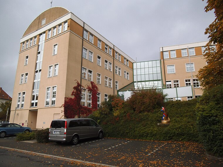
Photo: Gereon K., CC BY-SA 3.0.
Rathaus Ennepetal is a town hall, which is situated 1 km west of Deponie Siegfried Jacob Metallwerke GmbH & Co. KG.

Places in the Area
Nearby places include Ennepetal and Rüggeberg.
Ennepetal
Town

Photo: Ennepetaler86, CC BY 3.0.
Ennepetal is a town in the district of Ennepe-Ruhr-Kreis, in North Rhine-Westphalia, Germany. It was created in 1949 out of the former municipalities Milspe and Voerde.
Rüggeberg
Village

Photo: Grenzestein, CC BY-SA 3.0.
Rüggeberg is a village, which is situated 3 km south of Deponie Siegfried Jacob Metallwerke GmbH & Co. KG.
Gevelsberg
Town

Photo: Ennepetaler86, CC BY-SA 3.0.
Gevelsberg is a town in the district of Ennepe-Ruhr-Kreis, in North Rhine-Westphalia, Germany. Gevelsberg is situated 4 km northwest of Deponie Siegfried Jacob Metallwerke GmbH & Co. KG.
Deponie Siegfried Jacob Metallwerke GmbH & Co. KG
- Type: Landfill
- Location: Ennepetal, Ennepe-Ruhr-Kreis, Arnsberg, North Rhine-Westphalia, Germany, Central Europe, Europe
- View on OpenStreetMap
Latitude
51.29556° or 51° 17′ 44″ northLongitude
7.38141° or 7° 22′ 53″ eastOpen location code
9F3979WJ+6HOpenStreetMap ID
way 217437291OpenStreetMap feature
landuse=landfill
This page is based on OpenStreetMap, Wikidata, and Wikimedia Commons.
We’d love your help improving our open data sources. Thank you for contributing.
Satellite Map
Discover Deponie Siegfried Jacob Metallwerke GmbH & Co. KG from above in high-definition satellite imagery.
Notable Places Nearby
Highlights include Sterngolfanlage Ahlhausen and WOMO Klutertbad.
Nearby Places
Explore places such as Siegfried Jacob Metallwerke GmbH & Co. KG and Wanderparkplatz Ahlhausen P3.
North Rhine-Westphalia: Must-Visit Destinations
Delve into Cologne, Düsseldorf, Bonn, and Dortmund.
Curious Landfills to Discover
Uncover intriguing landfills from every corner of the globe.
About Mapcarta. Data © OpenStreetMap contributors and available under the Open Database License". Text is available under the CC BY-SA 4.0 license, except for photos, directions, and the map. Photo: Daniel Schwen, CC BY-SA 2.5.