Resort Farské lúky
Resort Farské lúky is a residential area in Čeladná, Frýdek-Místek District, Moravian-Silesian Region. Resort Farské lúky is situated nearby to the church sv. Jana Nepomuckého, as well as near the railway stop Čeladná (train station).| Tap on a place to explore it |
Places of Interest Nearby
Highlights include Čeladná (train station) and Log cabin of Petr Bezruč.
Čeladná (train station)
Railway stop

Photo: Ladin, CC BY-SA 3.0.
Čeladná (train station) is a railway stop, which is situated 470 metres west of Resort Farské lúky.
Log cabin of Petr Bezruč
Museum

Photo: Wikimedia, CC BY-SA 3.0.
Log cabin of Petr Bezruč is a museum, which is situated 3 km east of Resort Farské lúky.
Skalka
Peak
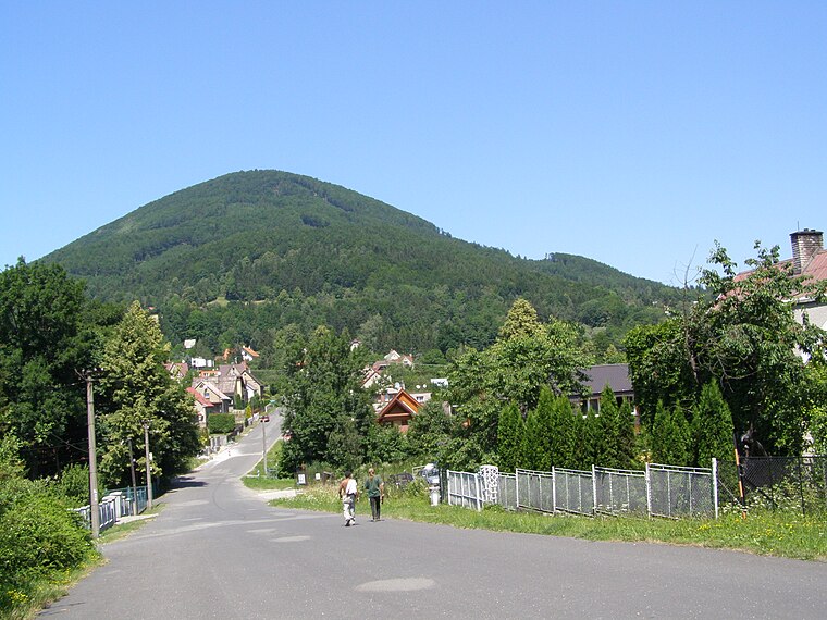
Photo: Daniel Baránek, CC BY-SA 3.0.
Skalka is a peak, which is situated 3 km west of Resort Farské lúky.
Places in the Area
Nearby places include Čeladná and Pstruží.
Čeladná
Village
 Čeladná is a municipality and village in the Frýdek-Místek District in the Moravian-Silesian Region of the Czech Republic. It has about 2,900 inhabitants.
Pstruží
Village
 Pstruží is a municipality and village in Frýdek-Místek District in the Moravian-Silesian Region of the Czech Republic. It has about 1,100 inhabitants. It lies in the Moravian-Silesian Foothills.
Nová Ves
Village

Photo: Palickap, CC BY-SA 4.0.
Nová Ves is a village, which is situated 3½ km northeast of Resort Farské lúky.
Resort Farské lúky
Latitude
49.5528° or 49° 33′ 10″ northLongitude
18.34072° or 18° 20′ 27″ eastOpen location code
8FXWH83R+47OpenStreetMap ID
way 218107323OpenStreetMap feature
landuse=residential
This page is based on OpenStreetMap, Wikidata, and Wikimedia Commons.
We’d love your help improving our open data sources. Thank you for contributing.
Satellite Map
Discover Resort Farské lúky from above in high-definition satellite imagery.
Notable Places Nearby
Highlights include sv. Jana Nepomuckého and Čeladná.
Nearby Places
Explore places such as Di Valle and Pod Ořechem.
Czech Republic: Must-Visit Destinations
Delve into Prague, Brno, Pilsen, and Ostrava.
Curious Residential Areas to Discover
Uncover intriguing residential areas from every corner of the globe.
About Mapcarta. Data © OpenStreetMap contributors and available under the Open Database License". Text is available under the CC BY-SA 4.0 license, except for photos, directions, and the map. Photo: john mcsporran, CC BY 2.0.