Eberswalder SV Empor e.V. Kanu
Eberswalder SV Empor e.V. Kanu is a building in Eberswalde, Barnim, Brandenburg. Eberswalder SV Empor e.V. Kanu is situated nearby to Empor Eberswalde e.V., as well as near the lake Teufelssee.| Tap on a place to explore it |
Places of Interest Nearby
Highlights include Martin Gropius Krankenhaus and Britz station.
Martin Gropius Krankenhaus
Hospital
 The Martin Gropius Krankenhaus is a neuro-psychiatric hospital in Eberswalde, Germany. It was built from 1862–1865 by architect Martin Gropius from Berlin. It was commissioned by the Estates of the then-Prussian Province of Brandenburg as an insane asylum. Martin Gropius Krankenhaus is situated 1¼ km south of Eberswalder SV Empor e.V. Kanu.
Britz station
Railway station

Photo: Blaufisch123, CC BY-SA 4.0.
Britz is a railway station in the town of Britz, Brandenburg, Germany. The station lies of the Berlin–Szczecin railway and the train services are operated by Deutsche Bahn and Niederbarnimer Eisenbahn. Britz station is situated 2 km northwest of Eberswalder SV Empor e.V. Kanu.
Paul-Wunderlich-Haus
Community center
 Paul-Wunderlich-Haus is a community center, which is situated 3 km south of Eberswalder SV Empor e.V. Kanu.
Places in the Area
Nearby places include Britz and Chorin.
Britz
Village
 Britz is a municipality in the district of Barnim in Brandenburg in north-eastern Germany. Britz is situated 3½ km northwest of Eberswalder SV Empor e.V. Kanu.
Chorin
Village
 Chorin is a municipality in the district of Barnim in Brandenburg, Germany. It is most famous for its cloister and for being situated within the Schorfheide-Chorin Biosphere Reserve. Chorin is situated 6 km northeast of Eberswalder SV Empor e.V. Kanu.
Tornow
Village
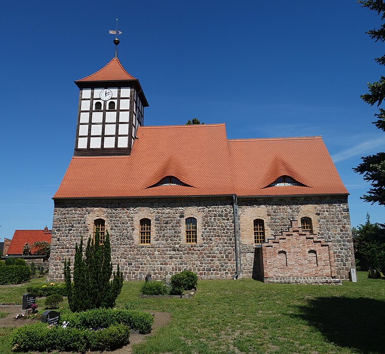
Photo: Hans G. Oberlack, CC BY-SA 4.0.
Tornow is a village, which is situated 6 km southeast of Eberswalder SV Empor e.V. Kanu.
Eberswalder SV Empor e.V. Kanu
- Type: Canoe
- Categories: building and sports location
- Location: Eberswalde, Barnim, Brandenburg, Germany, Central Europe, Europe
- View on OpenStreetMap
Latitude
52.85713° or 52° 51′ 26″ northLongitude
13.8345° or 13° 50′ 4″ eastOpen location code
9F4MVR4M+VQOpenStreetMap ID
way 218724586OpenStreetMap feature
building=yesOpenStreetMap feature
sport=canoe
This page is based on OpenStreetMap, Wikidata, and Wikimedia Commons.
We’d love your help improving our open data sources. Thank you for contributing.
Satellite Map
Discover Eberswalder SV Empor e.V. Kanu from above in high-definition satellite imagery.
Notable Places Nearby
Highlights include Empor Eberswalde e.V. and Teufelssee.
Nearby Places
Explore places such as Schleusenturm and Lebenshilfe gGmbH.
Brandenburg: Must-Visit Destinations
Delve into Potsdam, Cottbus, Frankfurt an der Oder, and Brandenburg an der Havel.
Curious Places to Discover
Uncover intriguing places from every corner of the globe.
About Mapcarta. Data © OpenStreetMap contributors and available under the Open Database License". Text is available under the CC BY-SA 4.0 license, except for photos, directions, and the map. Photo: Leviathan1983, CC BY-SA 3.0.