Cancha de SoftBall
Cancha de SoftBall is an university building in Maracaibo, Zulia. Cancha de SoftBall is situated nearby to the university Universidad Rafael Belloso Chacin (URBE), as well as near the stadium Plaza para todos de Maracaibo.| Tap on a place to explore it |
Places of Interest Nearby
Highlights include Plaza para todos de Maracaibo and Estadio José Pachencho Romero.
Plaza para todos de Maracaibo
Stadium
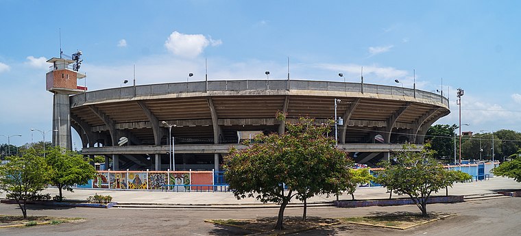
Photo: Rjcastillo, CC BY-SA 3.0.
Plaza para Todos de Maracaibo is a stadium in Maracaibo, Venezuela. It was used for bull fighting until 2017 when the government of Maracaibo prohibited that activity due to being considered animal cruelty. The venue holds 15,000 people and was built in 1972. Plaza para todos de Maracaibo is situated 330 metres west of Cancha de SoftBall.
Estadio José Pachencho Romero
Stadium
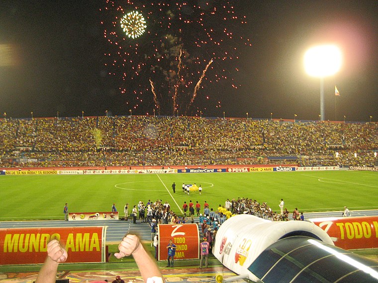 Estadio José Encarnación "Pachencho" Romero is a sports stadium in Maracaibo, capital of the Zulia state, in Venezuela. The stadium holds 40,800 spectators. Estadio José Pachencho Romero is situated 2½ km southwest of Cancha de SoftBall.
Estadio Luis Aparicio El Grande
Stadium

Photo: Wilfredor, CC BY-SA 3.0.
Estadio Luis Aparicio El Grande is a multi-use stadium in Maracaibo, Venezuela. It is currently used mostly for baseball games and serves as the home of Águilas del Zulia. Estadio Luis Aparicio El Grande is situated 3 km southwest of Cancha de SoftBall.
Cancha de SoftBall
- Type: University building
- Categories: building and education
- Location: Maracaibo, Zulia, Northwest, Venezuela, South America
- View on OpenStreetMap
Latitude
10.69493° or 10° 41′ 42″ northLongitude
-71.63384° or 71° 38′ 2″ westOpen location code
772CM9V8+XFOpenStreetMap ID
way 219723245OpenStreetMap feature
building=university
This page is based on OpenStreetMap, Wikidata, and Wikimedia Commons.
We’d love your help improving our open data sources. Thank you for contributing.
Satellite Map
Discover Cancha de SoftBall from above in high-definition satellite imagery.
Places with the Same Name
Discover other places named “Cancha de SoftBall”.
Notable Places Nearby
Highlights include Universidad Rafael Belloso Chacin (URBE) and Cancha de Usos Multiples, Monte Claro..
Nearby Places
Explore places such as Cancha Multiusos and Bloque E.
Northwest: Must-Visit Destinations
Delve into Barquisimeto, Coro, Punto Fijo, and Médanos de Coro National Park.
Curious Places to Discover
Uncover intriguing places from every corner of the globe.
About Mapcarta. Data © OpenStreetMap contributors and available under the Open Database License". Text is available under the CC BY-SA 4.0 license, except for photos, directions, and the map. Photo: Rjcastillo, CC BY-SA 3.0.